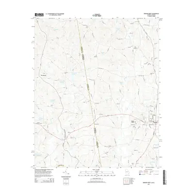
2014 Map of Bowdon West
USGS Topo · Published 2014About this map
The Georgia-Alabama state line serves as the central axis for this 2014 survey, bisecting the landscape between Carroll County and Cleburne County. The western outskirts of Bowdon dominate the eastern edge, where civic and spiritual history is preserved at the Bowdon City Cemetery, Bowdon Baptist Cemetery, and First Methodist Cemetery. The terrain is defined by a dense network of tributaries including Indian Creek, Farmer Creek, and Little Lost Creek, which feed into several reservoirs like Stitcher Lake and Zuejnieks Lake. To the west, the settlement of Macedonia and the Cleburne Memorial Garden mark the Alabama interior. This area shows a transition from the structured street grid of the town to the winding rural routes of the Piedmont, anchored by the Little Tallapoosa River in the southeast corner.
Find a feature on this map
151 named features on this map. Tap any name to fly to it.
Don’t see what you’re looking for? This feature index may not catch every label — zoom into the map to look around manually.
Map Details
Editions of this 2014 Bowdon West Map
This is the sole edition of this map. No revisions or reprints were ever made.
Other maps of this area

1889 · Tallapoosa
USGS Topo · 1:125,000

1892 · Tallapoosa
USGS Topo · 1:125,000

1897 · Tallapoosa
USGS Topo · 1:125,000

1899 · Wedowee
USGS Topo · 1:125,000

1902 · Wedowee
USGS Topo · 1:125,000

1953 · Atlanta
USGS Topo · 1:250,000

1957 · Atlanta
USGS Topo · 1:250,000

1958 · Atlanta
USGS Topo · 1:250,000

1958 · Carrollton
USGS Topo · 1:62,500

1964 · Roopville
USGS Topo · 1:24,000