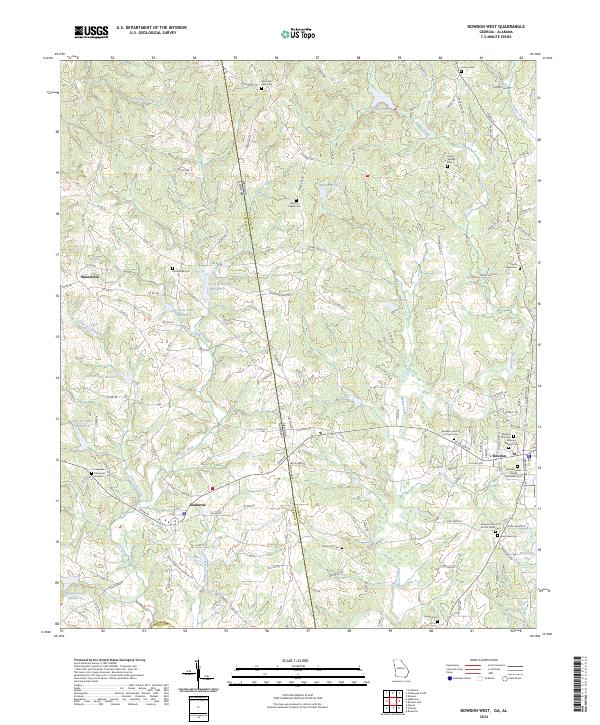
2024 Map of Bowdon West
USGS Topo · Published 2024About this map
The state line between Georgia and Alabama bisects this landscape, dividing the community of Ranburne from the outskirts of Bowdon. This territory is defined by the headwaters and tributaries of the Little Tallapoosa River, which snakes through the southern reaches of the map. The terrain is characterized by a dense network of water bodies, including the sequentially numbered Lost Creek Lake Number 1 through Number 4, alongside family-named landmarks like Stitcher Lake and Zuejnieks Lake.
Find a feature on this map
133 named features on this map. Tap any name to fly to it.
Don’t see what you’re looking for? This feature index may not catch every label — zoom into the map to look around manually.
Map Details
Editions of this 2024 Bowdon West Map
This is the sole edition of this map. No revisions or reprints were ever made.
Other maps of this area

1889 · Tallapoosa
USGS Topo · 1:125,000

1892 · Tallapoosa
USGS Topo · 1:125,000

1897 · Tallapoosa
USGS Topo · 1:125,000

1899 · Wedowee
USGS Topo · 1:125,000

1902 · Wedowee
USGS Topo · 1:125,000

1953 · Atlanta
USGS Topo · 1:250,000

1957 · Atlanta
USGS Topo · 1:250,000

1958 · Atlanta
USGS Topo · 1:250,000

1958 · Carrollton
USGS Topo · 1:62,500

1964 · Roopville
USGS Topo · 1:24,000