
1923 Map of Bowling Green
USGS Topo · Published 1923About this map
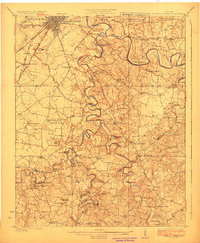
Bowling Green serves as the regional hub for this Warren County landscape surveyed in the early 1920s, showing a transition from the urban grid to a dense network of river-bottom farms and rural schools. The Louisville and Nashville RR cuts through the western half, meeting the Barren River which snakes across the terrain in dramatic meanders like Horseshoe Bend. The rural economy of the era is evident in the proximity of local landmarks such as Massey Mill and Cassadays Store.
Find a feature on this map
91 named features on this map. Tap any name to fly to it.
Don’t see what you’re looking for? This feature index may not catch every label — zoom into the map to look around manually.
Map Details
Editions of this 1923 Bowling Green Map
4 editions found
Other maps of this area

1914 · Little Muddy
USGS Topo · 1:62,500

1921 · Bowling Green
USGS Topo · 1:62,500

1922 · Brownsville
USGS Topo · 1:62,500

1922 · Mammoth Cave
USGS Topo · 1:62,500

1923 · Mammoth Cave
USGS Topo · 1:62,500

1923 · Brownsville
USGS Topo · 1:62,500

1926 · Scottsville
USGS Topo · 1:62,500

1928 · Adolphus
USGS Topo · 1:48,000

1931 · Lafayette
USGS Topo · 1:62,500

1931 · Adolphus
USGS Topo · 1:62,500