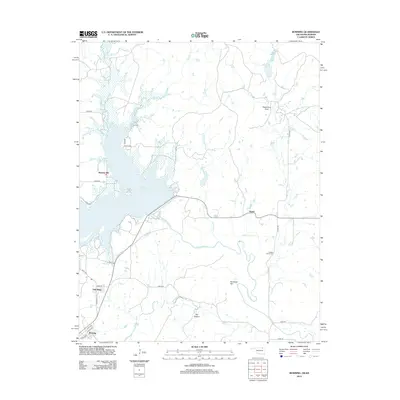
2012 Map of Bowring
USGS Topo · Published 2012About this map
Hulah Lake dominates the northwestern portion of this northern Oklahoma landscape, where the reservoir is fed by Skull Cr and Thunderbolt Cr. The expansive waters feature distinct inlets like Tucker Cove and Quarry Cove, which contrast with the meandering path of the Caney River to the south. Small settlements including Hulah, Bowring, and Oak Ridge are connected by a network of county roads, such as Co RD-3575 and e0090 RD.
Find a feature on this map
35 named features on this map. Tap any name to fly to it.
Don’t see what you’re looking for? This feature index may not catch every label — zoom into the map to look around manually.
Map Details
Editions of this 2012 Bowring Map
This is the sole edition of this map. No revisions or reprints were ever made.
Other maps of this area
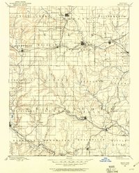
1885 · Sedan
USGS Topo · 1:125,000
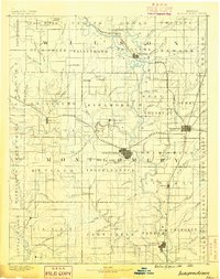
1886 · Independence
USGS Topo · 1:125,000
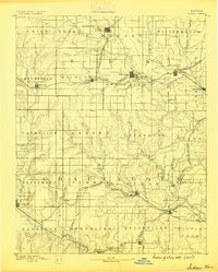
1889 · Sedan
USGS Topo · 1:125,000
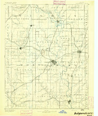
1894 · Independence
USGS Topo · 1:125,000
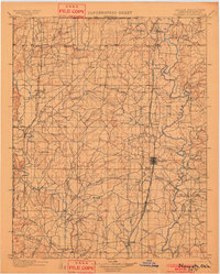
1901 · Nowata
USGS Topo · 1:125,000
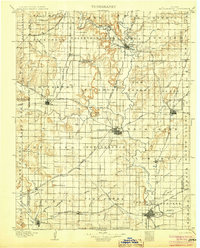
1905 · Independence
USGS Topo · 1:125,000
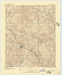
1909 · Pawhuska
USGS Topo · 1:125,000
1910 · Pawhuska
USGS Topo · 1:125,000
1914 · Nowata
USGS Topo · 1:125,000

1947 · Joplin
USGS Topo · 1:250,000