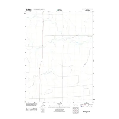
2011 Map of Box Butte NW
USGS Topo · Published 2011About this map
The Niobrara River winds through the northern High Plains of Box Butte County, creating a distinctive drainage pattern that includes the seasonal flows of Cottonwood Creek and Sand Canyon Creek. This landscape is defined by the agricultural infrastructure of the region, most notably the Mirage Flats Canal, which cuts across the terrain to support local farming.
Find a feature on this map
15 named features on this map. Tap any name to fly to it.
Don’t see what you’re looking for? This feature index may not catch every label — zoom into the map to look around manually.
Map Details
Editions of this 2011 Box Butte NW Map
This is the sole edition of this map. No revisions or reprints were ever made.
Other maps of this area

1947 · Box Butte NE
USGS Topo · 1:24,000

1947 · Box Butte
USGS Topo · 1:24,000

1947 · Box Butte NW
USGS Topo · 1:24,000

1948 · Hemingford
USGS Topo · 1:24,000

1948 · Box Butte Reservoir East
USGS Topo · 1:24,000

1949 · Box Butte NE
USGS Topo · 1:24,000

1949 · Box Butte SW
USGS Topo · 1:24,000

1949 · Box Butte
USGS Topo · 1:24,000

1949 · Box Butte NW
USGS Topo · 1:24,000

1955 · Alliance
USGS Topo · 1:250,000