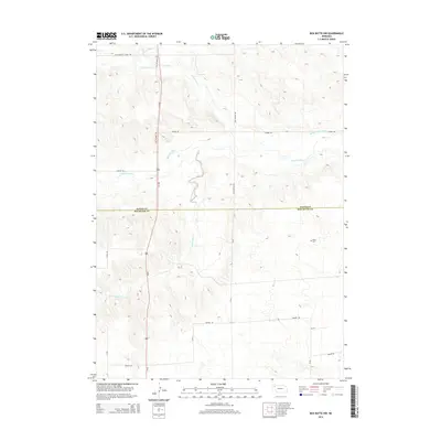
2014 Map of Box Butte NW
USGS Topo · Published 2014About this map
The Niobrara River winds across this section of the High Plains, carving a distinct valley through the tablelands of the Nebraska panhandle. This 2014 survey documents the enduring agricultural landscape where the Mirage Flats Canal draws water to support local farming. The area is characterized by a sparse but organized road network, with routes like Dunlap Rd and Old Dunlap Rd following the section lines that define rural Nebraska life.
Find a feature on this map
23 named features on this map. Tap any name to fly to it.
Don’t see what you’re looking for? This feature index may not catch every label — zoom into the map to look around manually.
Map Details
Editions of this 2014 Box Butte NW Map
This is the sole edition of this map. No revisions or reprints were ever made.
Other maps of this area
1947 · Box Butte NE
USGS Topo · 1:24,000
1947 · Box Butte
USGS Topo · 1:24,000
1947 · Box Butte NW
USGS Topo · 1:24,000
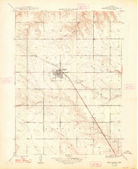
1948 · Hemingford
USGS Topo · 1:24,000
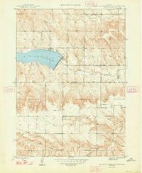
1948 · Box Butte Reservoir East
USGS Topo · 1:24,000
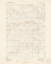
1949 · Box Butte NE
USGS Topo · 1:24,000
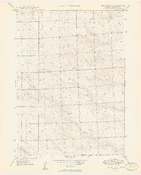
1949 · Box Butte SW
USGS Topo · 1:24,000
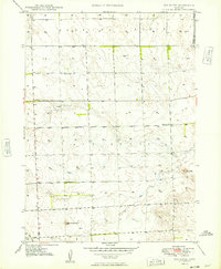
1949 · Box Butte
USGS Topo · 1:24,000
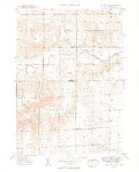
1949 · Box Butte NW
USGS Topo · 1:24,000

1955 · Alliance
USGS Topo · 1:250,000