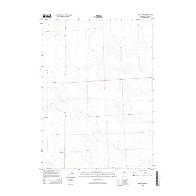
2014 Map of Box Butte SW
USGS Topo · Published 2014About this map
Box Butte Creek and its tributary branches define the drainage patterns of this High Plains landscape in Box Butte County. The map captures a largely rural section of the Nebraska Panhandle, where the terrain is organized by a precise grid of county roads including Cass Rd, Dodge Rd, and Grant Rd. These routes facilitate movement across a landscape of moderate elevation changes, illustrated by the presence of N Br Box Butte Cr and S Br Box Butte Cr in the central-west portion of the quadrangle. In the southwestern corner, the headwaters of Hemingford Cr begin their course. This 2014 survey serves as a record of the modern rural infrastructure and water management systems in a region where the vast majority of the land is dedicated to agricultural use, following the historical section-line development typical of the western Great Plains.
Find a feature on this map
18 named features on this map. Tap any name to fly to it.
Don’t see what you’re looking for? This feature index may not catch every label — zoom into the map to look around manually.
Map Details
Editions of this 2014 Box Butte SW Map
This is the sole edition of this map. No revisions or reprints were ever made.
Other maps of this area
1946 · Berea Creek East
USGS Topo · 1:24,000
1947 · Box Butte NE
USGS Topo · 1:24,000
1947 · Box Butte
USGS Topo · 1:24,000
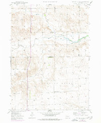
1947 · Box Butte NW
USGS Topo · 1:24,000
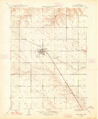
1948 · Hemingford
USGS Topo · 1:24,000
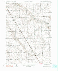
1948 · Berea Creek West
USGS Topo · 1:24,000
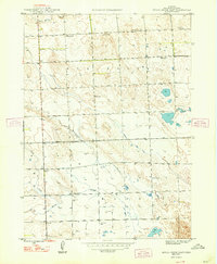
1948 · Berea Creek East
USGS Topo · 1:24,000
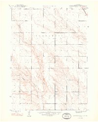
1948 · Hemingford 4 NE
USGS Topo · 1:24,000
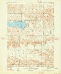
1948 · Box Butte Reservoir East
USGS Topo · 1:24,000
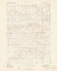
1949 · Box Butte NE
USGS Topo · 1:24,000