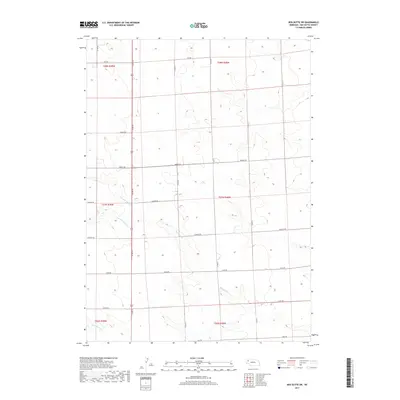
2017 Map of Box Butte SW
USGS Topo · Published 2017About this map
Box Butte Creek and its various tributaries, including N Br Box Butte Creek and S Br Box Butte Creek, carve a subtle drainage network through this section of the Nebraska High Plains. The landscape is characterized by a precise grid of rural section lines, with the south-central portion of the map showing the convergence of these creek branches. Toward the southern boundary, Hemingford Creek passes near Hall Rd. The layout of the road system, following strict cardinal directions with labels like Cass Rd and Grant Rd, reflects the systematic agrarian development of Box Butte County. While the map is sparse of concentrated settlements, the named corridors and waterway forks provide essential spatial references for understanding the land use and water management patterns of this agricultural region in the early 21st century.
Find a feature on this map
18 named features on this map. Tap any name to fly to it.
Don’t see what you’re looking for? This feature index may not catch every label — zoom into the map to look around manually.
Map Details
Editions of this 2017 Box Butte SW Map
This is the sole edition of this map. No revisions or reprints were ever made.
Other maps of this area
1946 · Berea Creek East
USGS Topo · 1:24,000
1947 · Box Butte NE
USGS Topo · 1:24,000
1947 · Box Butte
USGS Topo · 1:24,000
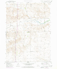
1947 · Box Butte NW
USGS Topo · 1:24,000
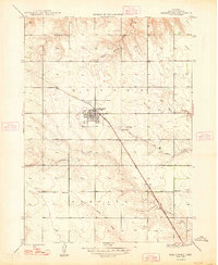
1948 · Hemingford
USGS Topo · 1:24,000
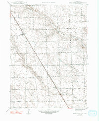
1948 · Berea Creek West
USGS Topo · 1:24,000
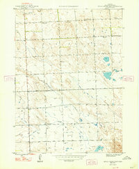
1948 · Berea Creek East
USGS Topo · 1:24,000
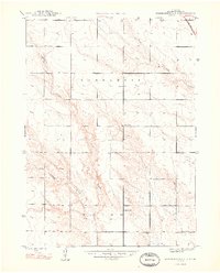
1948 · Hemingford 4 NE
USGS Topo · 1:24,000
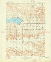
1948 · Box Butte Reservoir East
USGS Topo · 1:24,000
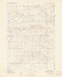
1949 · Box Butte NE
USGS Topo · 1:24,000