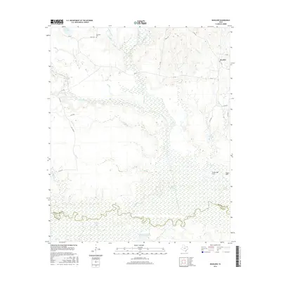
2016 Map of Boxelder
USGS Topo · Published 2016About this map
Sulphur River meanders along the southern border of this Northeast Texas landscape, defining the boundary between Red River and Titus counties. The terrain is characterized by an intricate drainage network where Cuthand Creek and Whiteoak Creek feed into expansive wetlands and bottomlands. Near the northern edge, the small community of Boxelder sits at the junction of local routes, while the Evergreen Cem offers a point of interest for genealogists tracing local family histories. The area is notable for its numerous named water features, including Ogilvie Lake, Magic Valley Lake, and the engineered Blackmon Farms Reservoir Number 6. Low-lying elevations are punctuated by distinct rises such as Stockbridge Knoll and Pigpen Knoll, which stand above the surrounding sloughs and creek beds.
Find a feature on this map
37 named features on this map. Tap any name to fly to it.
Don’t see what you’re looking for? This feature index may not catch every label — zoom into the map to look around manually.
Map Details
Editions of this 2016 Boxelder Map
This is the sole edition of this map. No revisions or reprints were ever made.
Other maps of this area
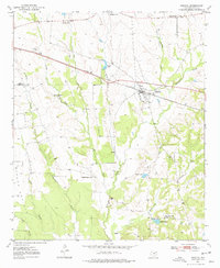
1950 · Annona
USGS Topo · 1:24,000
1951 · Annona
USGS Topo · 1:24,000
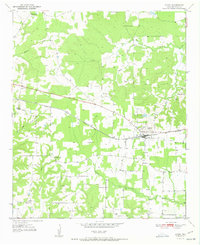
1951 · Avery
USGS Topo · 1:24,000

1953 · Texarkana
USGS Topo · 1:250,000
1956 · Texarkana
USGS Topo · 1:250,000
1964 · Cuthand
USGS Topo · 1:24,000
1964 · Wilkinson
USGS Topo · 1:24,000
1964 · Talco
USGS Topo · 1:24,000
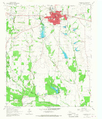
1964 · Clarksville
USGS Topo · 1:24,000
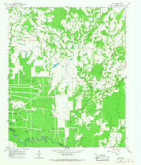
1965 · Lydia
USGS Topo · 1:24,000