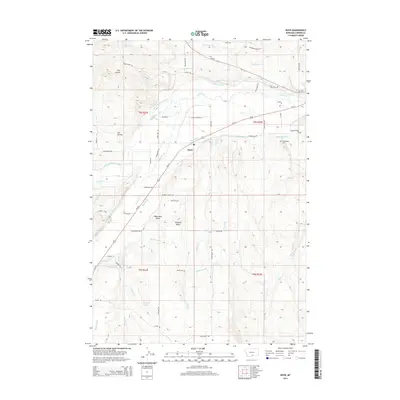
2014 Map of Boyd
USGS Topo · Published 2014About this map
Boyd serves as the central hub of this landscape, where the waters of Rock Creek and Red Lodge Creek converge. The terrain is defined by prominent elevations such as Shane Ridge, Blanchard Butte, and Stormitt Butte, which rise above the surrounding plains. An extensive network of irrigation infrastructure is visible, including the Sabo-Johnson-Curry Ditch, Highline Ditch, and Carbonado Ditch, indicating the importance of water management to the local agricultural economy. These man-made channels crisscross the natural drainage of Dry Coulee and Hot Dance Creek. Genealogists and local historians can locate several family-named landmarks and resting places, such as the Beltz Cemetery and Carbonado Cemetery, alongside numerous local roads like Diamond Ranch Lane and Stormitt Butte Road.
Find a feature on this map
63 named features on this map. Tap any name to fly to it.
Don’t see what you’re looking for? This feature index may not catch every label — zoom into the map to look around manually.
Map Details
Editions of this 2014 Boyd Map
This is the sole edition of this map. No revisions or reprints were ever made.
Other maps of this area
1892 · Stillwater
USGS Topo · 1:125,000
1932 · Red Lodge No 1
USGS Topo · 1:48,000
1954 · Billings
USGS Topo · 1:250,000
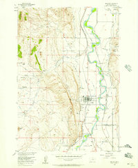
1956 · Bridger
USGS Topo · 1:24,000
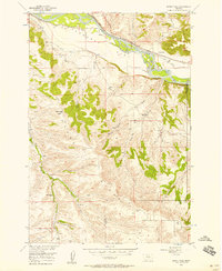
1956 · Shane Ridge
USGS Topo · 1:24,000
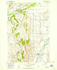
1956 · Fromberg
USGS Topo · 1:24,000
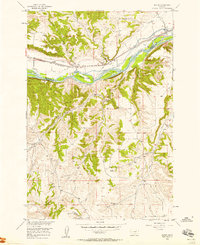
1956 · Rapids
USGS Topo · 1:24,000
1956 · Roberts
USGS Topo · 1:24,000
1956 · Boyd
USGS Topo · 1:24,000
1956 · The Big Slide
USGS Topo · 1:24,000