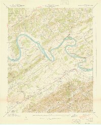
1940 Map of Boyds Creek
USGS Topo · Published 1940About this map
The French Broad River dominates this East Tennessee landscape, its deep meanders forming dramatic loops like Horseshoe Bend and Underwood Bend. These water crossings were vital to local commerce and travel before modern bridging, evidenced by the presence of Huffaker Ferry, Johnson Ferry, and the Brabson Ferry (Abandoned). Along the river’s edge, Seven Islands and Seven Islands Ch mark early centers of community life in the fertile bottomlands between Bays Mountain and the Knox and Sevier County mountains.
Find a feature on this map
111 named features on this map. Tap any name to fly to it.
Don’t see what you’re looking for? This feature index may not catch every label — zoom into the map to look around manually.
Map Details
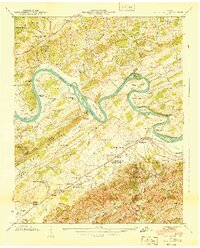
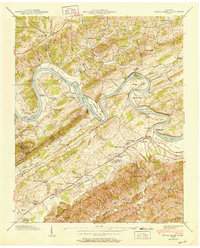
Editions of this 1940 Boyds Creek Map
3 editions found
Other maps of this area

1886 · Knoxville
USGS Topo · 1:125,000

1892 · Knoxville
USGS Topo · 1:125,000

1894 · Knoxville
USGS Topo · 1:125,000

1895 · Knoxville
USGS Topo · 1:125,000

1897 · Maynardville
USGS Topo · 1:125,000

1900 · Maynardville
USGS Topo · 1:125,000

1901 · Knoxville
USGS Topo · 1:125,000

1935 · Mascot
USGS Topo · 1:24,000

1935 · Knoxville
USGS Topo · 1:48,000

1935 · Straw Plains
USGS Topo · 1:48,000