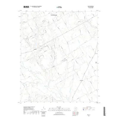
2019 Map of Boz
USGS Topo · Published 2019About this map
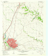
The community of Boz and the smaller crossroads of Five Points occupy this rural landscape south of Waxahachie. This area in Ellis County is defined by its dendritic drainage patterns, where tributaries like Greathouse Br and Baker Br feed into the broader Chambers Cr and N Fork Chambers Cr. The road network is a mix of established routes like FM 66 and FM 876 alongside dozens of local lanes, many named for early families. Genealogists may find the Greathouse Cem especially significant, located near the center of the survey. The presence of the George P Shanks Airport on the eastern edge highlights the transition from traditional agricultural land use to modern private aviation infrastructure in this portion of North Texas.
Find a feature on this map
88 named features on this map. Tap any name to fly to it.
Don’t see what you’re looking for? This feature index may not catch every label — zoom into the map to look around manually.
Map Details
Editions of this 2019 Boz Map
This is the sole edition of this map. No revisions or reprints were ever made.
Other maps of this area

1891 · Cleburne
USGS Topo · 1:125,000

1894 · Cleburne
USGS Topo · 1:125,000

1954 · Dallas
USGS Topo · 1:250,000

1958 · Dallas
USGS Topo · 1:250,000

1960 · Boz
USGS Topo · 1:24,000
1961 · Maypearl
USGS Topo · 1:24,000

1961 · Forreston
USGS Topo · 1:24,000
1961 · Midlothian
USGS Topo · 1:24,000
1961 · Venus
USGS Topo · 1:24,000
1961 · Waxahachie
USGS Topo · 1:24,000