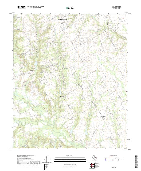
2022 Map of Boz
USGS Topo · Published 2022About this map
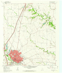
Chambers Creek and its many winding tributaries, including N Fork Chambers Creek and S Fork Chambers Creek, define the landscape of this portion of Ellis County. The area is characterized by a high density of small, family or community-named waterways like Oak Branch, Greathouse Branch, and Bell Branch Branch that carve through the local topography. This network of creeks likely influenced the placement of early settlements and rural crossroads such as Maypearl, Boz, and Five Points. Genealogists will find significant value in the preservation of local burial sites, including the Oak Branch Cemetery, Greathouse Cemetery, and Bethel Cemetery. The southern edge of Waxahachie is visible at the top of the sheet, while the George P Shanks Airport stands as a more modern landmark in this predominantly agricultural region.
Find a feature on this map
90 named features on this map. Tap any name to fly to it.
Don’t see what you’re looking for? This feature index may not catch every label — zoom into the map to look around manually.
Map Details
Editions of this 2022 Boz Map
This is the sole edition of this map. No revisions or reprints were ever made.
Other maps of this area

1891 · Cleburne
USGS Topo · 1:125,000

1894 · Cleburne
USGS Topo · 1:125,000

1954 · Dallas
USGS Topo · 1:250,000

1958 · Dallas
USGS Topo · 1:250,000

1960 · Boz
USGS Topo · 1:24,000
1961 · Maypearl
USGS Topo · 1:24,000

1961 · Forreston
USGS Topo · 1:24,000
1961 · Midlothian
USGS Topo · 1:24,000
1961 · Venus
USGS Topo · 1:24,000
1961 · Waxahachie
USGS Topo · 1:24,000