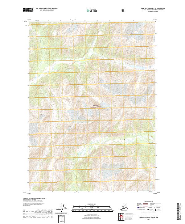
2021 Map of Bradfield Canal A-2 SW
USGS Topo · Published 2021About this map
Tongass National Forest dominates this landscape in Southeast Alaska, where the vast temperate rainforest meets the steep drainages of the Chickamin River and Leduc River. This 2021 survey illustrates the deep, glacially carved valleys and high ridges that characterize this portion of the Prince of Wales-Hyder Census Area. The lack of infrastructure, including any labeled roads or buildings, reflects the managed wilderness character of the region. Instead, the map traces the intricate hydrography of glacial melt, with numerous unnamed tributaries feeding into larger systems like Indian Cr and the primary river channels. The topography revealed here serves as a baseline for understanding the unchanged river courses and forested slopes in a part of the state where human development remains largely absent.
Find a feature on this map
10 named features on this map. Tap any name to fly to it.
Don’t see what you’re looking for? This feature index may not catch every label — zoom into the map to look around manually.
Map Details
Editions of this 2021 Bradfield Canal A-2 SW Map
This is the sole edition of this map. No revisions or reprints were ever made.
Other maps of this area

1951 · Bradfield Canal
USGS Topo · 1:250,000

1952 · Ketchikan
USGS Topo · 1:250,000

1954 · Bradfield Canal
USGS Topo · 1:250,000

1955 · Ketchikan D-2
USGS Topo · 1:63,360

1955 · Bradfield canal A-2
USGS Topo · 1:63,360

1955 · Ketchikan D-3
USGS Topo · 1:63,360

1955 · Bradfield canal A-3
USGS Topo · 1:63,360

1955 · Ketchikan
USGS Topo · 1:250,000

1955 · Bradfield Canal
USGS Topo · 1:250,000
1996 · Ketchikan D-3
USGS Topo · 1:63,360