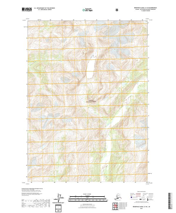
2021 Map of Bradfield Canal A-3 SE
USGS Topo · Published 2021About this map
The Leduc River and Klahini River carve through the steep glacial topography of the Tongass National Forest in this 2021 survey of the Alaska Panhandle. The landscape is dominated by high-elevation ice fields and braided river systems, where the terrain rises sharply from the river valleys. This map captures the remote character of the region within the Prince of Wales-Hyder Census Area, showing the complex drainage patterns of the Leduc River as it flows south through the wilderness. The survey serves as a modern record of the ice margins and water courses in a region devoid of permanent settlements or road infrastructure, reflecting the pure wilderness of Southeast Alaska.
Find a feature on this map
9 named features on this map. Tap any name to fly to it.
Don’t see what you’re looking for? This feature index may not catch every label — zoom into the map to look around manually.
Map Details
Editions of this 2021 Bradfield Canal A-3 SE Map
This is the sole edition of this map. No revisions or reprints were ever made.
Other maps of this area

1951 · Bradfield Canal
USGS Topo · 1:250,000

1952 · Ketchikan
USGS Topo · 1:250,000

1954 · Bradfield Canal
USGS Topo · 1:250,000

1955 · Ketchikan D-2
USGS Topo · 1:63,360

1955 · Bradfield canal A-2
USGS Topo · 1:63,360

1955 · Ketchikan D-3
USGS Topo · 1:63,360

1955 · Bradfield canal A-3
USGS Topo · 1:63,360

1955 · Ketchikan
USGS Topo · 1:250,000

1955 · Bradfield Canal
USGS Topo · 1:250,000
1996 · Ketchikan D-3
USGS Topo · 1:63,360