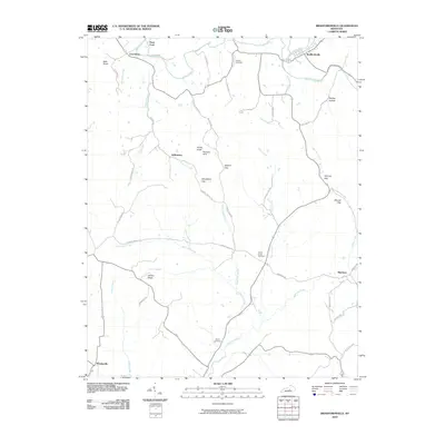
2010 Map of Bradfordsville
USGS Topo · Published 2010About this map
Bradfordsville serves as the primary hub of this Marion County landscape, situated at the confluence where the North Rolling Fork and Big South Fork merge into the Rolling Fork river. The geography is defined by a network of creeks and ridges, with several prominent gaps such as Stayton Gap and Grindstone Gap providing passage through the elevated terrain. Smaller rural settlements like Salleetown, Merrimac, and Wooleyville are connected by a web of local routes including Salleetown Rd and Merrimac Rd. Local history is preserved in several burial grounds like Liberty Cemetery and Mann Cemetery, while the presence of Peck Ford suggests traditional river crossings that predated modern infrastructure. From the heights of Jericho Ridge to the lowlands of Robinson Creek, the map illustrates a region where life follows the path of the water and the breaks in the hills.
Find a feature on this map
54 named features on this map. Tap any name to fly to it.
Don’t see what you’re looking for? This feature index may not catch every label — zoom into the map to look around manually.
Map Details
Editions of this 2010 Bradfordsville Map
This is the sole edition of this map. No revisions or reprints were ever made.
Other maps of this area

1952 · Clementsville
USGS Topo · 1:24,000

1952 · Mannsville
USGS Topo · 1:24,000

1952 · Bradfordsville
USGS Topo · 1:24,000

1953 · Campbellsville
USGS Topo · 1:24,000

1953 · Bradfordsville NE
USGS Topo · 1:24,000

1953 · Gravel Switch
USGS Topo · 1:24,000

1953 · Lebanon East
USGS Topo · 1:24,000

1953 · Spurlington
USGS Topo · 1:24,000

1953 · Lebanon West
USGS Topo · 1:24,000

1953 · Bradfordsville
USGS Topo · 1:24,000