
1949 Map of Bradley Junction
USGS Topo · Published 1966About this map
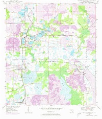
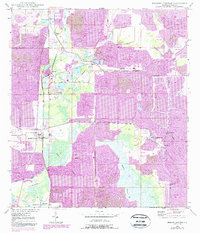
Industrial phosphate mining and agricultural land use define this 1949 survey of south-central Florida. The landscape is heavily marked by extractive industry, featuring numerous Strip Mine sites, a prominent Phosphate Plant, and a large Mine Dump near Pierce. The transportation of these minerals is evident in the dense rail network, including the Seaboard Air Line, Atlantic Coast Line, and the Swift and Co RR, which link company towns like Brewster and Bradley Junction.
Find a feature on this map
27 named features on this map. Tap any name to fly to it.
Don’t see what you’re looking for? This feature index may not catch every label — zoom into the map to look around manually.
Map Details
Editions of this 1949 Bradley Junction Map
3 editions found
Other maps of this area

1949 · Mulberry
USGS Topo · 1:24,000

1949 · Bartow
USGS Topo · 1:24,000

1950 · Mulberry
USGS Topo · 1:24,000

1950 · Bartow
USGS Topo · 1:24,000

1950 · Bradley Junction
USGS Topo · 1:24,000

1952 · Homeland
USGS Topo · 1:24,000

1955 · Bowling Green
USGS Topo · 1:24,000

1955 · Nichols
USGS Topo · 1:24,000

1955 · Baird
USGS Topo · 1:24,000

1955 · Keysville
USGS Topo · 1:24,000