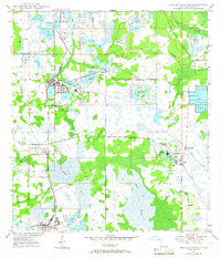
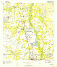
1949 Map of Bradley Junction
USGS Topo · Published 1987About this map
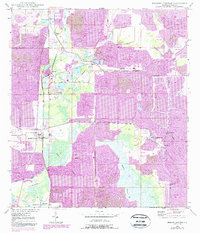
Bradley Junction serves as the focal point for this industrial landscape, where the phosphate mining industry transformed the terrain of Polk County. The map documents an extensive network of Strip Mine operations and industrial sites, including a large Phosphate Plant and the Agricola Sta rail terminal. While the extraction sites dominate the topography, the survival of community markers like Mt Olive Cem and Old Elam Ch indicates the persistence of local settlements amidst the evolving land use.
Find a feature on this map
23 named features on this map. Tap any name to fly to it.
Don’t see what you’re looking for? This feature index may not catch every label — zoom into the map to look around manually.
Map Details
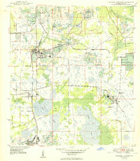
Editions of this 1949 Bradley Junction Map
3 editions found
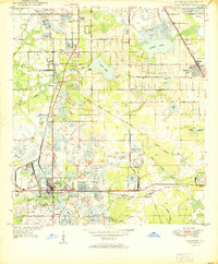
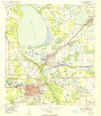
Other maps of this area
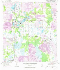
1949 · Mulberry
USGS Topo · 1:24,000
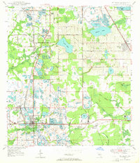
1949 · Bartow
USGS Topo · 1:24,000
1949 · Bradley Junction
USGS Topo · 1:24,000
1950 · Mulberry
USGS Topo · 1:24,000
1950 · Bartow
USGS Topo · 1:24,000
1950 · Bradley Junction
USGS Topo · 1:24,000
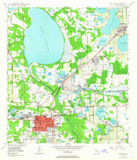
1952 · Homeland
USGS Topo · 1:24,000
1955 · Bowling Green
USGS Topo · 1:24,000
1955 · Nichols
USGS Topo · 1:24,000
1955 · Baird
USGS Topo · 1:24,000