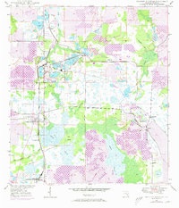
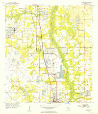
1949 Map of Bradley Junction
USGS Topo · Published 1973About this map
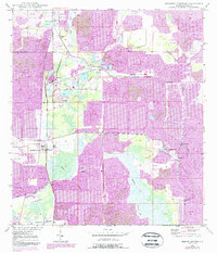
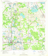
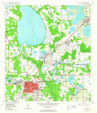
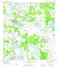
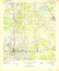
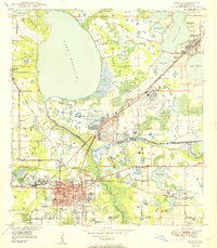
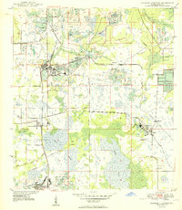
The phosphate mining industry of Polk County dominates this 1949 survey, updated with photointelligence in the early 1970s. Industrial activity is concentrated around Strip Mine sites and processing facilities like the Phosphate Plant near Agricola. The landscape is a complex network of resource extraction and transit, where the Seaboard Coast Line and S C L railroads connect specialized settlements such as Pierce, Brewster, and Pebbledale. These company towns and industrial nodes sit alongside remnants of an older rural life, including the Mt Olive Cem and Old Elam Ch.
Find a feature on this map
29 named features on this map. Tap any name to fly to it.
Don’t see what you’re looking for? This feature index may not catch every label — zoom into the map to look around manually.
Map Details
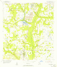
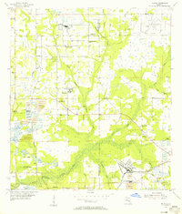
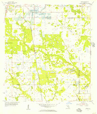
Editions of this 1949 Bradley Junction Map
3 editions found
Other maps of this area
1949 · Mulberry
USGS Topo · 1:24,000
1949 · Bartow
USGS Topo · 1:24,000
1949 · Bradley Junction
USGS Topo · 1:24,000
1950 · Mulberry
USGS Topo · 1:24,000
1950 · Bartow
USGS Topo · 1:24,000
1950 · Bradley Junction
USGS Topo · 1:24,000
1952 · Homeland
USGS Topo · 1:24,000
1955 · Bowling Green
USGS Topo · 1:24,000
1955 · Nichols
USGS Topo · 1:24,000
1955 · Baird
USGS Topo · 1:24,000