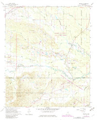
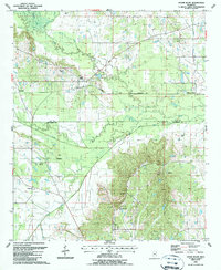
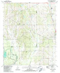
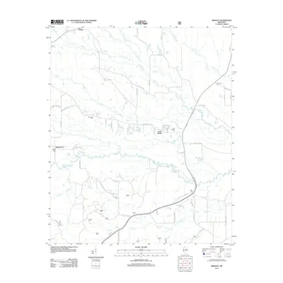
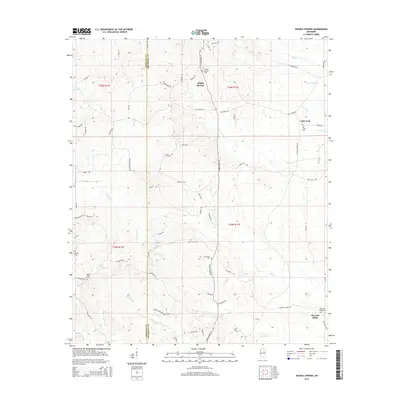
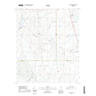
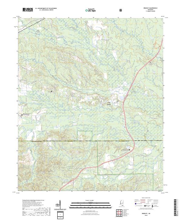
1965 Map of Bradley
USGS Topo · Published 1982About this map
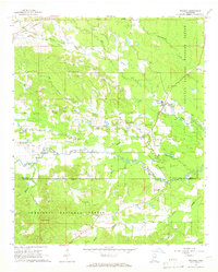
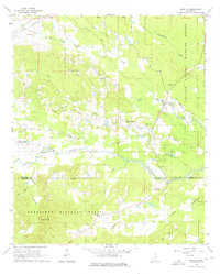
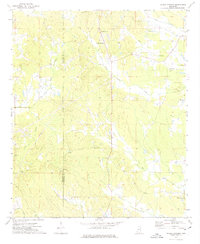
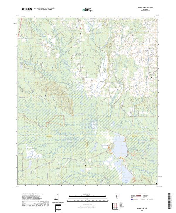
Noxubee River meanders across a landscape defined by heavy timber and academic research, marking the transition between Oktibbeha and Winston Counties in the 1960s. The region is notably influenced by the Mississippi State University School of Forest Resources, which manages vast tracts of land alongside the Noxubee National Wildlife Refuge and the Tombigbee National Forest. This convergence of state and federal forestry initiatives preserves a network of small, rural communities like Bradley, Morgantown, and Craig Springs.
Find a feature on this map
42 named features on this map. Tap any name to fly to it.
Don’t see what you’re looking for? This feature index may not catch every label — zoom into the map to look around manually.
Map Details
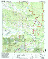
Editions of this 1965 Bradley Map
3 editions found
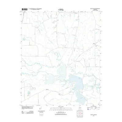
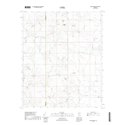
Historical Maps of Craig Springs Through Time
31 maps found

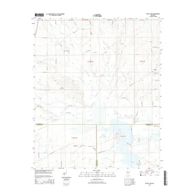
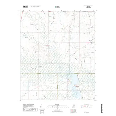
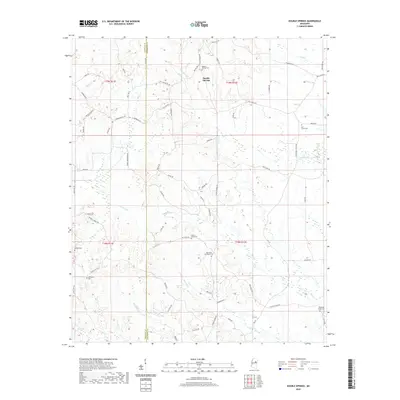
1965 Bluff Lake
Oktibbeha County, MS
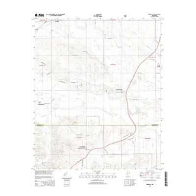
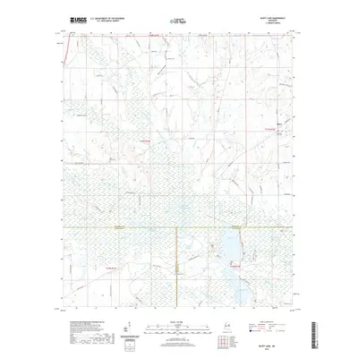
1965 Bradley
Oktibbeha County, MS
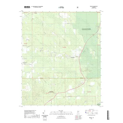
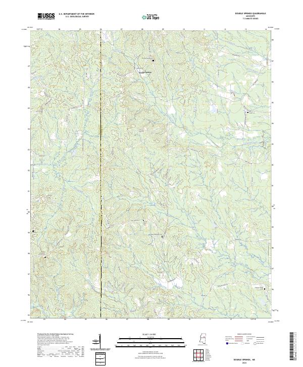
1972 Double Springs
Oktibbeha County, MS
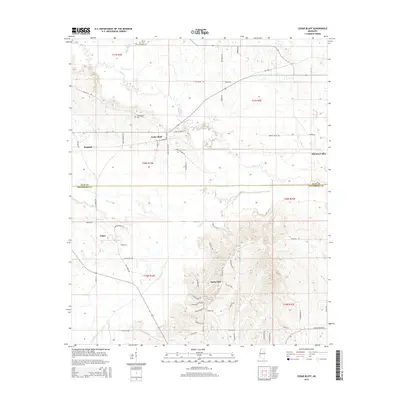
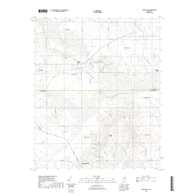
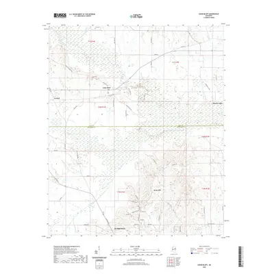
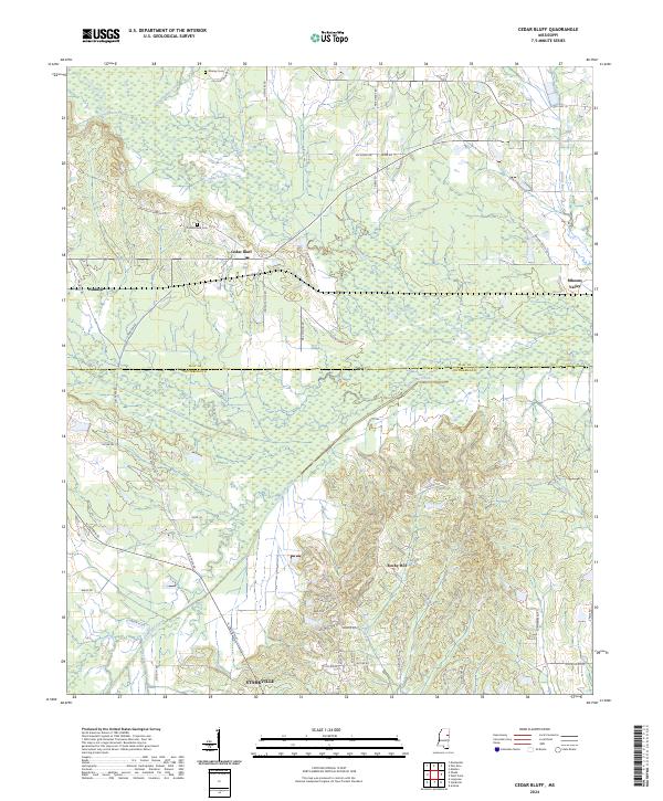
1987 Cedar Bluff
Oktibbeha County, MS
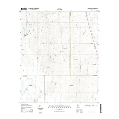
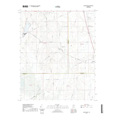
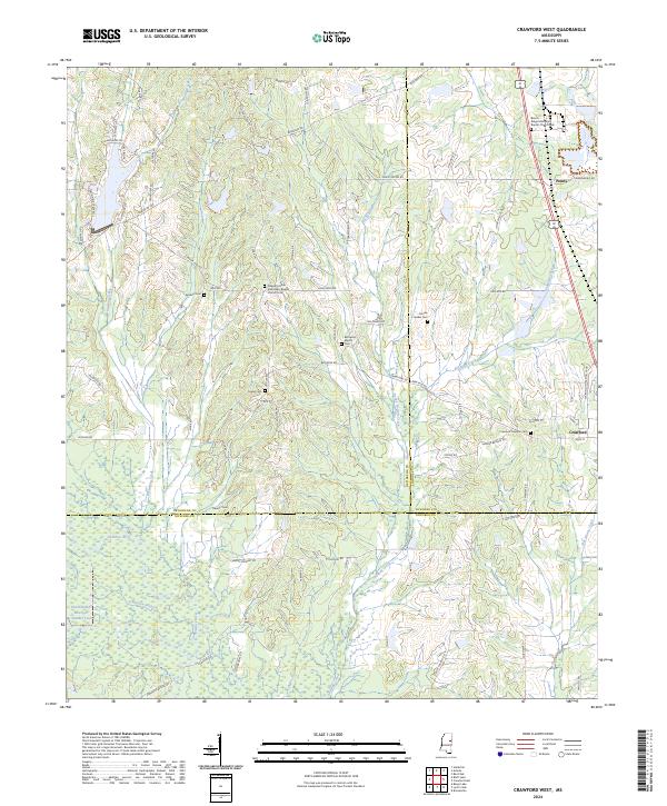
1987 Crawford West
Oktibbeha County, MS
2000 Bradley
Oktibbeha County, MS
2012 Bluff Lake
Oktibbeha County, MS
2012 Bradley
Oktibbeha County, MS
2012 Cedar Bluff
Oktibbeha County, MS
2012 Crawford West
Oktibbeha County, MS
2012 Double Springs
Oktibbeha County, MS
2015 Bluff Lake
Oktibbeha County, MS
2015 Bradley
Oktibbeha County, MS
2015 Cedar Bluff
Oktibbeha County, MS
2015 Crawford West
Oktibbeha County, MS
2015 Double Springs
Oktibbeha County, MS
2018 Bluff Lake
Oktibbeha County, MS
2018 Bradley
Oktibbeha County, MS
2018 Cedar Bluff
Oktibbeha County, MS
2018 Crawford West
Oktibbeha County, MS
2018 Double Springs
Oktibbeha County, MS
2020 Cedar Bluff
Oktibbeha County, MS
2020 Crawford West
Oktibbeha County, MS
2020 Double Springs
Oktibbeha County, MS
2021 Bluff Lake
Oktibbeha County, MS
2021 Bradley
Oktibbeha County, MS
2024 Bluff Lake
Oktibbeha County, MS
2024 Bradley
Oktibbeha County, MS
2024 Cedar Bluff
Oktibbeha County, MS
2024 Crawford West
Oktibbeha County, MS
2024 Double Springs
Oktibbeha County, MS