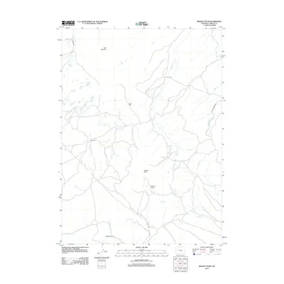
2012 Map of Bradley Peak
USGS Topo · Published 2012About this map
Bradley Peak dominates the central landscape of this Carbon County region, serving as a prominent landmark amidst a complex network of high-elevation drainages. This 2012 survey illustrates a sparse ranching environment where the land is primarily defined by its water sources and topographic basins. Working ranch properties like R S Ranch and Boot Ranch are positioned near essential creek systems such as Deweese Cr and Twin Cr, reflecting the enduring importance of water rights in the Wyoming interior.
Find a feature on this map
27 named features on this map. Tap any name to fly to it.
Don’t see what you’re looking for? This feature index may not catch every label — zoom into the map to look around manually.
Map Details
Editions of this 2012 Bradley Peak Map
This is the sole edition of this map. No revisions or reprints were ever made.
Other maps of this area

1953 · Bradley Peak
USGS Topo · 1:24,000

1953 · Seminoe Dam
USGS Topo · 1:24,000

1953 · Wild Horse Mountain
USGS Topo · 1:24,000

1953 · Seminoe Dam SW
USGS Topo · 1:24,000

1953 · Ferris
USGS Topo · 1:24,000

1953 · Pathfinder Reservoir SW
USGS Topo · 1:24,000

1953 · Buzzard Ranch
USGS Topo · 1:24,000

1953 · Spanish Mine
USGS Topo · 1:24,000

1953 · Riddle Cut
USGS Topo · 1:24,000

1955 · Casper
USGS Topo · 1:250,000