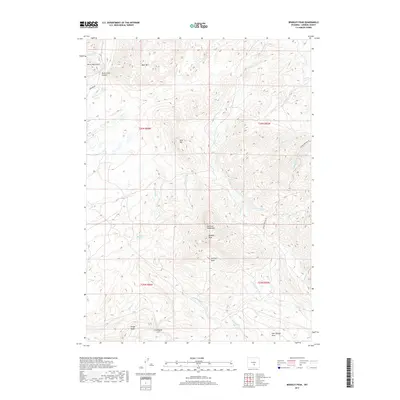
2017 Map of Bradley Peak
USGS Topo · Published 2017About this map
Bradley Peak stands as the primary landmark in this section of Carbon County, marking the transition between the Ferris Mountains and the Seminoe Mountains. The landscape is defined by its drainage systems, with Sand Springs and Sand Creek Canyon at the northern edge, while numerous named creeks like Deweese Cr, Junk Cr, and Twin Cr carve through the high elevations. The placement of Pattison Basin and Windy Ridge suggests a complex topography that historically influenced movement and land use in this part of Wyoming. These features, along with names like Coal Springs Draw and Fieldhouse Cut, provide specific points of interest for those studying the physical geography and naming conventions of the region's ranching and resource history.
Find a feature on this map
35 named features on this map. Tap any name to fly to it.
Don’t see what you’re looking for? This feature index may not catch every label — zoom into the map to look around manually.
Map Details
Editions of this 2017 Bradley Peak Map
This is the sole edition of this map. No revisions or reprints were ever made.
Other maps of this area

1953 · Bradley Peak
USGS Topo · 1:24,000

1953 · Seminoe Dam
USGS Topo · 1:24,000

1953 · Wild Horse Mountain
USGS Topo · 1:24,000

1953 · Seminoe Dam SW
USGS Topo · 1:24,000

1953 · Ferris
USGS Topo · 1:24,000

1953 · Pathfinder Reservoir SW
USGS Topo · 1:24,000

1953 · Buzzard Ranch
USGS Topo · 1:24,000

1953 · Spanish Mine
USGS Topo · 1:24,000

1953 · Riddle Cut
USGS Topo · 1:24,000

1955 · Casper
USGS Topo · 1:250,000