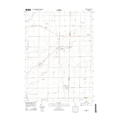
2013 Map of Bradner
USGS Topo · Published 2013About this map
Bradner and the nearby village of Risingsun anchor this 2013 landscape at the intersection of Wood, Sandusky, and Seneca counties. The area is defined by a deep agricultural heritage, visible in the distribution of family-named sites like Deininger Farms, Rupke Farms, and the distinctive Haslinger Orchards north of Rollersville. This modern survey records the enduring footprint of early settlements through its numerous burial grounds, including the Saint Jacobs Evangelical Lutheran Cem and the Pember Farm Cem.
Find a feature on this map
76 named features on this map. Tap any name to fly to it.
Don’t see what you’re looking for? This feature index may not catch every label — zoom into the map to look around manually.
Map Details
Editions of this 2013 Bradner Map
This is the sole edition of this map. No revisions or reprints were ever made.
Other maps of this area

1901 · Fostoria
USGS Topo · 1:62,500

1901 · Bowling Green
USGS Topo · 1:62,500

1901 · Elmore
USGS Topo · 1:62,500

1903 · Bowling Green
USGS Topo · 1:62,500

1903 · Fostoria
USGS Topo · 1:62,500

1903 · Findlay
USGS Topo · 1:62,500

1903 · Elmore
USGS Topo · 1:62,500

1956 · Toledo
USGS Topo · 1:250,000
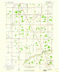
1958 · Dunbridge
USGS Topo · 1:24,000

1958 · Jerry City
USGS Topo · 1:24,000