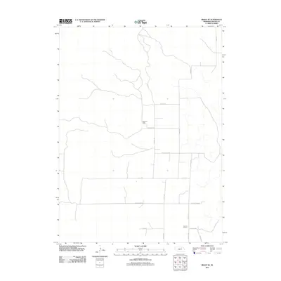
2011 Map of Brady NE
USGS Topo · Published 2011About this map
Svea Dal Cemetery stands as a quiet focal point in this Lincoln County landscape, situated near the intersection of E Svea Dal Rd and S N Valley Rd. The map reveals a rural expanse dominated by a grid of named section roads that reflect the agricultural and ranching heritage of the Platte Valley region. Significant landmarks such as the Wild Horse Valley Ranch highlight the specialized land use in this part of Nebraska. The infrastructure is defined by long, straight thoroughfares like N Brady Rd and E Platte Valley Rd, which facilitate movement across the rolling plains. This 2011 survey captures a moment when traditional land naming conventions, seen in routes like E Walking Plow Rd, persist alongside modern ranching operations, providing a clear view of the area's contemporary rural organization.
Find a feature on this map
15 named features on this map. Tap any name to fly to it.
Don’t see what you’re looking for? This feature index may not catch every label — zoom into the map to look around manually.
Map Details
Editions of this 2011 Brady NE Map
This is the sole edition of this map. No revisions or reprints were ever made.
Other maps of this area

1954 · North Platte
USGS Topo · 1:250,000

1956 · North Platte
USGS Topo · 1:250,000

1957 · North Platte
USGS Topo · 1:250,000

1967 · North Platte
USGS Topo · 1:250,000
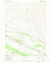
1970 · Brady SW
USGS Topo · 1:24,000
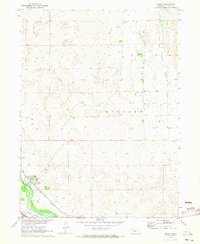
1970 · Brady
USGS Topo · 1:24,000
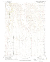
1972 · Odencranze Table South
USGS Topo · 1:24,000
1972 · Odencranze Table North
USGS Topo · 1:24,000
1972 · Brady NW
USGS Topo · 1:24,000
1972 · Gandy SW
USGS Topo · 1:24,000