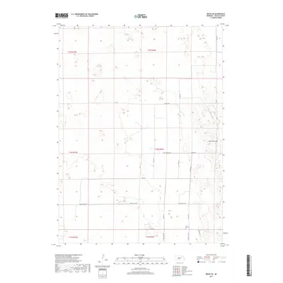
2017 Map of Brady NE
USGS Topo · Published 2017About this map
Svea Dal Cem and the surrounding tablelands of Lincoln County define this rural section of Nebraska. Located near N Sveadal Rd, the cemetery serves as a vital point of interest for genealogists researching the Swedish heritage of the central plains. The landscape is characterized by the prominent Odencranze Table in the east, which rises above the grid of section lines and local thoroughfares such as Brady Rd and Miller Rd. This area reflects a legacy of agricultural settlement and land division typical of the Great Plains, where the survey system is imprinted directly onto the topography. Notable local routes like Hall RD, Wildlife Rd, and Canyon Rd wind through the shifting elevations, connecting isolated farmsteads across several townships including t14n r26w.
Find a feature on this map
21 named features on this map. Tap any name to fly to it.
Don’t see what you’re looking for? This feature index may not catch every label — zoom into the map to look around manually.
Map Details
Editions of this 2017 Brady NE Map
This is the sole edition of this map. No revisions or reprints were ever made.
Other maps of this area

1954 · North Platte
USGS Topo · 1:250,000

1956 · North Platte
USGS Topo · 1:250,000

1957 · North Platte
USGS Topo · 1:250,000

1967 · North Platte
USGS Topo · 1:250,000
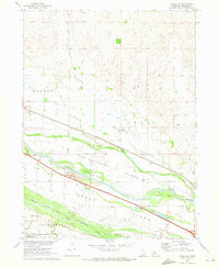
1970 · Brady SW
USGS Topo · 1:24,000
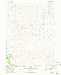
1970 · Brady
USGS Topo · 1:24,000
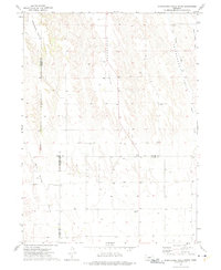
1972 · Odencranze Table South
USGS Topo · 1:24,000
1972 · Odencranze Table North
USGS Topo · 1:24,000
1972 · Brady NW
USGS Topo · 1:24,000
1972 · Gandy SW
USGS Topo · 1:24,000