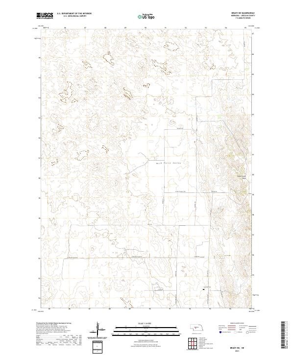
2021 Map of Brady NE
USGS Topo · Published 2021About this map
Wild Horse Valley stretches across this portion of Lincoln County, defining a landscape of transition between the lowlands and the higher elevations of the Odencranze Table. The 2021 survey by the U.S. Geological Survey details a rural Nebraska grid system, where long-established section lines are traced by routes like E Walking Plow Rd and Miller Rd. A significant touchstone for local genealogy is found at the southern edge of the quadrangle with the Svea Dal Cem, located near the intersection of N Svea-Dal Rd and E Hild Rd. This area reflects the agrarian endurance of the region, where the network of namesake roads such as Brady Rd and N Brady Rd facilitates movement across the expansive open country and rugged breaks leading into the canyon lands.
Find a feature on this map
22 named features on this map. Tap any name to fly to it.
Don’t see what you’re looking for? This feature index may not catch every label — zoom into the map to look around manually.
Map Details
Editions of this 2021 Brady NE Map
This is the sole edition of this map. No revisions or reprints were ever made.
Other maps of this area

1954 · North Platte
USGS Topo · 1:250,000

1956 · North Platte
USGS Topo · 1:250,000

1957 · North Platte
USGS Topo · 1:250,000

1967 · North Platte
USGS Topo · 1:250,000
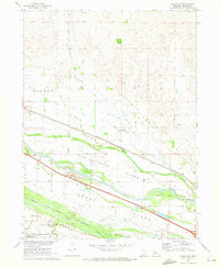
1970 · Brady SW
USGS Topo · 1:24,000
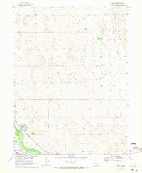
1970 · Brady
USGS Topo · 1:24,000
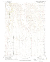
1972 · Odencranze Table South
USGS Topo · 1:24,000
1972 · Odencranze Table North
USGS Topo · 1:24,000
1972 · Brady NW
USGS Topo · 1:24,000
1972 · Gandy SW
USGS Topo · 1:24,000