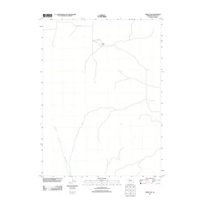
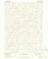
2011 Map of Brady NW
USGS Topo · Published 2011About this map
Pawnee Springs Ranch sits in the northern section of this Lincoln County landscape, marking a specific point of settlement in an otherwise open terrain. The area is defined by the winding course of Pawnee Creek, which meanders through the western portion of the quadrangle. A simple network of rural routes, including N Kiewitt Rd, S Kiewitt Rd, and E Kiewitt Rd, provides the primary infrastructure for the region. This 2011 survey reflects the enduring character of Nebraska's ranching country, showing a sparse distribution of named features that emphasizes the scale of individual land holdings and the importance of natural water sources like the creek for local operations.
Find a feature on this map
5 named features on this map. Tap any name to fly to it.
Don’t see what you’re looking for? This feature index may not catch every label — zoom into the map to look around manually.
Map Details
Editions of this 2011 Brady NW Map
This is the sole edition of this map. No revisions or reprints were ever made.
Other maps of this area

1899 · North Platte
USGS Topo · 1:125,000

1902 · North Platte
USGS Topo · 1:125,000

1954 · North Platte
USGS Topo · 1:250,000

1956 · North Platte
USGS Topo · 1:250,000

1957 · North Platte
USGS Topo · 1:250,000

1967 · North Platte
USGS Topo · 1:250,000
1970 · Brady SW
USGS Topo · 1:24,000
1970 · Maxwell
USGS Topo · 1:24,000
1970 · Brady
USGS Topo · 1:24,000
1970 · Maxwell NE
USGS Topo · 1:24,000