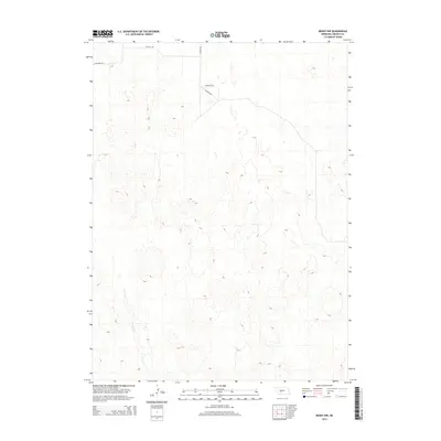
2014 Map of Brady NW
USGS Topo · Published 2014About this map
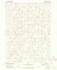
Pawnee Cr meanders through the western portion of this Lincoln County landscape, highlighting a region defined by its subtle drainage patterns and extensive rural road network. Modern infrastructure is represented by the intersection of E Kiewit Rd and N Kiewit Rd, which serve the local agricultural community alongside S Kiewit Rd. The terrain is characterized by a high density of small, closed topographic depressions typical of the Nebraska sandhills, which create a complex mosaic of elevation changes across the quadrangle. N Maxwell Rd provides one of the few designated thoroughfares in the northwest corner, illustrating the sparse but organized settlement pattern of the early 21st century.
Find a feature on this map
5 named features on this map. Tap any name to fly to it.
Don’t see what you’re looking for? This feature index may not catch every label — zoom into the map to look around manually.
Map Details
Editions of this 2014 Brady NW Map
This is the sole edition of this map. No revisions or reprints were ever made.
Other maps of this area

1899 · North Platte
USGS Topo · 1:125,000

1902 · North Platte
USGS Topo · 1:125,000

1954 · North Platte
USGS Topo · 1:250,000

1956 · North Platte
USGS Topo · 1:250,000

1957 · North Platte
USGS Topo · 1:250,000

1967 · North Platte
USGS Topo · 1:250,000
1970 · Brady SW
USGS Topo · 1:24,000
1970 · Maxwell
USGS Topo · 1:24,000
1970 · Brady
USGS Topo · 1:24,000
1970 · Maxwell NE
USGS Topo · 1:24,000