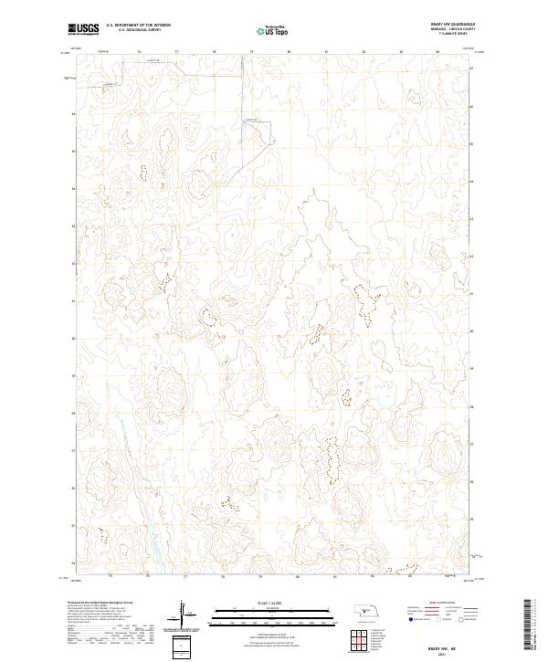
2021 Map of Brady NW
USGS Topo · Published 2021About this map
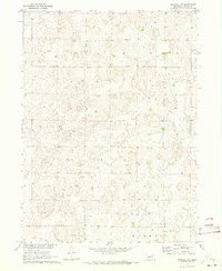
Pawnee Cr meanders through the southwestern corner of this Lincoln County landscape, serving as the primary drainage feature for the area. The terrain is characterized by the structured grid of the Public Land Survey System, with boundaries such as t14n r28w and t15n r27w marking the underlying legal geography of the Nebraska plains. This modern survey illustrates a sparsely populated section of the state where human presence is defined primarily by a network of rural routes, including N Maxwell Rd and the intersections of E Kiewitt Rd and S Kiewitt Rd. The map provides a clear look at the relationship between modern roadway infrastructure and the natural contours of the Platte River valley region, offering a precise view of the land's elevation and hydrography as they exist today.
Find a feature on this map
11 named features on this map. Tap any name to fly to it.
Don’t see what you’re looking for? This feature index may not catch every label — zoom into the map to look around manually.
Map Details
Editions of this 2021 Brady NW Map
This is the sole edition of this map. No revisions or reprints were ever made.
Other maps of this area

1899 · North Platte
USGS Topo · 1:125,000

1902 · North Platte
USGS Topo · 1:125,000

1954 · North Platte
USGS Topo · 1:250,000

1956 · North Platte
USGS Topo · 1:250,000

1957 · North Platte
USGS Topo · 1:250,000

1967 · North Platte
USGS Topo · 1:250,000
1970 · Brady SW
USGS Topo · 1:24,000
1970 · Maxwell
USGS Topo · 1:24,000
1970 · Brady
USGS Topo · 1:24,000
1970 · Maxwell NE
USGS Topo · 1:24,000