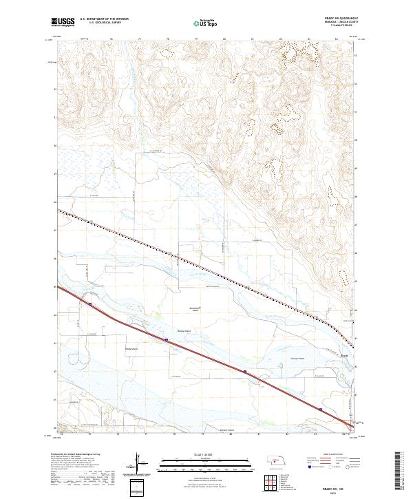
2021 Map of Brady SW
USGS Topo · Published 2021About this map
The braided channels of the Platte River dominate this Lincoln County landscape, creating a complex network of river islands and seasonal waterways. Several large, named landforms rise within the river’s reach, including Brady Island, George Island, and McCullough Island. The interaction between the main river and secondary channels like Pawnee Slough and Pawnee Creek illustrates the shifting hydrology of the Platte valley, where low-lying areas like Brushy Island and Chester Island are defined by the water's path.
Find a feature on this map
30 named features on this map. Tap any name to fly to it.
Don’t see what you’re looking for? This feature index may not catch every label — zoom into the map to look around manually.
Map Details
Editions of this 2021 Brady SW Map
This is the sole edition of this map. No revisions or reprints were ever made.
Other maps of this area

1899 · North Platte
USGS Topo · 1:125,000

1902 · Gothenburg
USGS Topo · 1:125,000

1902 · North Platte
USGS Topo · 1:125,000

1954 · McCook
USGS Topo · 1:250,000

1954 · North Platte
USGS Topo · 1:250,000

1956 · North Platte
USGS Topo · 1:250,000

1956 · Wellfleet NE
USGS Topo · 1:24,000

1957 · North Platte
USGS Topo · 1:250,000

1957 · McCook
USGS Topo · 1:250,000

1958 · McCook
USGS Topo · 1:250,000