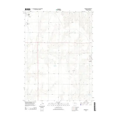
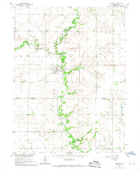
2014 Map of Brainard
USGS Topo · Published 2014About this map
David City and Brainard anchor this section of Butler County, where the agricultural grid is interrupted by the rolling drainage basins of Kezan Cr and Plum Cr. The landscape is a study in early 21st-century rural infrastructure, characterized by an extensive network of section-line roads and several local aviation sites including David City Municipal Airport and the smaller Stava Airport. Near the town of Brainard, the street plan reveals a focused residential cluster along N Cleveland St and N Madison St.
Find a feature on this map
34 named features on this map. Tap any name to fly to it.
Don’t see what you’re looking for? This feature index may not catch every label — zoom into the map to look around manually.
Map Details
Editions of this 2014 Brainard Map
This is the sole edition of this map. No revisions or reprints were ever made.
Other maps of this area

1899 · Wahoo
USGS Topo · 1:125,000

1899 · David City
USGS Topo · 1:125,000

1955 · Fremont
USGS Topo · 1:250,000

1957 · Fremont
USGS Topo · 1:250,000

1958 · Fremont
USGS Topo · 1:250,000
1965 · Brainard
USGS Topo · 1:24,000
1965 · Garrison
USGS Topo · 1:24,000
1966 · Dwight
USGS Topo · 1:24,000
1966 · Ulysses
USGS Topo · 1:24,000

1968 · Bruno
USGS Topo · 1:24,000