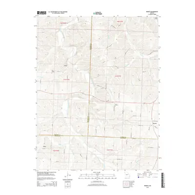
2015 Map of Branch
USGS Topo · Published 2015About this map
The Little Niangua River carves a winding path through the Ozark foothills at the junction of Hickory, Camden, and Dallas Counties. This 2015 survey documents the rural character of the region, anchored by the small communities of Almon, Branch, and Elixer. The landscape is defined by its watercourses, from the Cahootchie Cr in the southwest to the Macks Cr in the northeast, each creating a network of ridges and drainages like Coffee Hollow. For genealogists and local historians, the map identifies significant cultural landmarks including the Little Niangua Cemetery and Stanton Cemetery. The road network consists largely of secondary routes such as Lakota Rd, Elixer Rd, and Mill School Rd, reflecting the persistent rural settlement patterns where small holdings are linked by family-named tracks and county lanes across the diverse terrain of the Missouri Ozarks.
Find a feature on this map
109 named features on this map. Tap any name to fly to it.
Don’t see what you’re looking for? This feature index may not catch every label — zoom into the map to look around manually.
Map Details
Editions of this 2015 Branch Map
This is the sole edition of this map. No revisions or reprints were ever made.
Other maps of this area

1884 · Bolivar
USGS Topo · 1:125,000

1887 · Warsaw
USGS Topo · 1:125,000

1888 · Versailles
USGS Topo · 1:125,000

1892 · Bolivar
USGS Topo · 1:125,000

1893 · Versailles
USGS Topo · 1:125,000

1894 · Warsaw
USGS Topo · 1:125,000

1934 · Macks Creek
USGS Topo · 1:48,000

1935 · Barnumton
USGS Topo · 1:24,000

1939 · Macks Creek
USGS Topo · 1:62,500

1947 · Jefferson City
USGS Topo · 1:250,000