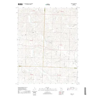
2017 Map of Branch
USGS Topo · Published 2017About this map
Little Niangua River meanders through the heart of this Ozark landscape, marking the convergence of Hickory, Camden, and Dallas Counties. The rural settlement of Almon sits at the junction of country roads, while the community of Branch anchors the eastern edge of the quadrangle. This 2017 survey details the complex network of drainage basins that feed the river system, including Cahoochie Cr and the winding Gooseneck Br.
Find a feature on this map
83 named features on this map. Tap any name to fly to it.
Don’t see what you’re looking for? This feature index may not catch every label — zoom into the map to look around manually.
Map Details
Editions of this 2017 Branch Map
This is the sole edition of this map. No revisions or reprints were ever made.
Other maps of this area

1884 · Bolivar
USGS Topo · 1:125,000

1887 · Warsaw
USGS Topo · 1:125,000

1888 · Versailles
USGS Topo · 1:125,000

1892 · Bolivar
USGS Topo · 1:125,000

1893 · Versailles
USGS Topo · 1:125,000

1894 · Warsaw
USGS Topo · 1:125,000

1934 · Macks Creek
USGS Topo · 1:48,000

1935 · Barnumton
USGS Topo · 1:24,000

1939 · Macks Creek
USGS Topo · 1:62,500

1947 · Jefferson City
USGS Topo · 1:250,000