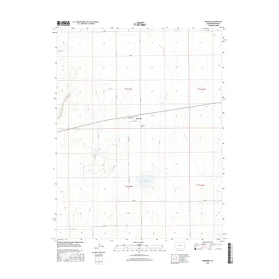
2016 Map of Brandon
USGS Topo · Published 2016About this map
Brandon occupies a central position in this High Plains landscape of eastern Colorado, where a grid of rural routes like Co RD 58 and Co RD 59 bisects the semi-arid terrain. The settlement is defined by a modest street plan including Broadway St and Virginia Ave, reflecting the organized land division typical of the region's development. Just south of the town center lies Plainview Cem, a key landmark for local genealogists and historians tracking the early families of Kiowa County.
Find a feature on this map
21 named features on this map. Tap any name to fly to it.
Don’t see what you’re looking for? This feature index may not catch every label — zoom into the map to look around manually.
Map Details
Editions of this 2016 Brandon Map
This is the sole edition of this map. No revisions or reprints were ever made.
Other maps of this area

1890 · Granada
USGS Topo · 1:125,000

1891 · Kit Carson
USGS Topo · 1:125,000

1892 · Lamar
USGS Topo · 1:125,000

1892 · Cheyenne Wells
USGS Topo · 1:125,000

1892 · Granada
USGS Topo · 1:125,000

1893 · Kit Carson
USGS Topo · 1:125,000

1894 · Cheyenne Wells
USGS Topo · 1:125,000

1894 · Granada
USGS Topo · 1:125,000

1954 · Lamar
USGS Topo · 1:250,000

1958 · Lamar
USGS Topo · 1:250,000