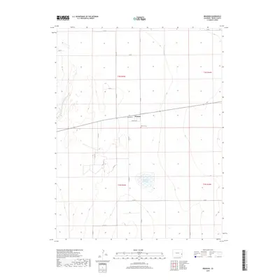
2019 Map of Brandon
USGS Topo · Published 2019About this map
Brandon occupies a central position on this high plains landscape, organized around a simple grid featuring Broadway St and Virginia Ave. This small settlement in Kiowa County is surrounded by vast agricultural and ranching sections, partitioned by a regular network of county roads such as Co Rd 59 and Co Rd S. To the south of the town site, Plainview Cem serves as a significant local landmark for genealogical research. The hydrology of the area is defined by the seasonal drainage of Big Sandy Cr in the northwest and the engineered footprint of Chivington Reservoir Number 4. These water features, alongside the rigid township and range boundaries of t18s r45w and t19s r45w, illustrate the intersection of natural topography and the systematic human ordering of the Colorado plains.
Find a feature on this map
22 named features on this map. Tap any name to fly to it.
Don’t see what you’re looking for? This feature index may not catch every label — zoom into the map to look around manually.
Map Details
Editions of this 2019 Brandon Map
This is the sole edition of this map. No revisions or reprints were ever made.
Other maps of this area

1890 · Granada
USGS Topo · 1:125,000

1891 · Kit Carson
USGS Topo · 1:125,000

1892 · Lamar
USGS Topo · 1:125,000

1892 · Cheyenne Wells
USGS Topo · 1:125,000

1892 · Granada
USGS Topo · 1:125,000

1893 · Kit Carson
USGS Topo · 1:125,000

1894 · Cheyenne Wells
USGS Topo · 1:125,000

1894 · Granada
USGS Topo · 1:125,000

1954 · Lamar
USGS Topo · 1:250,000

1958 · Lamar
USGS Topo · 1:250,000