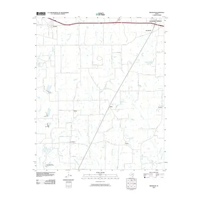
2010 Map of Brashear
USGS Topo · Published 2010About this map
The community of Brashear anchors this corner of Hopkins County, situated along the northern transport corridor near the edge of Sulphur Springs. This rural landscape is defined by a dendritic network of waterways, including Elm Creek, Chaffin Creek, and Riley Creek, which drain toward the south. Small, scattered settlements such as Shirley, Greenview, and Divide illustrate the persistent pattern of rural Texas township centers connected by a grid of farm-to-market and county roads like FM 2653 and Co RD 1100. Water management is a visible priority here, evidenced by the Soil Conservation Service Site 21 Dam and several numbered structures like Dam Number 17 and Dam Number 19. For genealogists and local historians, the map preserves the positioning of legacy locales like Tazewell and Liberty alongside newer developments around Camps Lake.
Find a feature on this map
70 named features on this map. Tap any name to fly to it.
Don’t see what you’re looking for? This feature index may not catch every label — zoom into the map to look around manually.
Map Details
Editions of this 2010 Brashear Map
This is the sole edition of this map. No revisions or reprints were ever made.
Other maps of this area

1953 · Texarkana
USGS Topo · 1:250,000

1956 · Texarkana
USGS Topo · 1:250,000

1956 · Tyler
USGS Topo · 1:250,000

1956 · Emory
USGS Topo · 1:62,500

1958 · Arbala
USGS Topo · 1:24,000

1959 · Yantis
USGS Topo · 1:24,000

1959 · Alba
USGS Topo · 1:62,500

1962 · Miller Grove
USGS Topo · 1:24,000

1962 · Brashear
USGS Topo · 1:24,000

1964 · Cumby
USGS Topo · 1:24,000