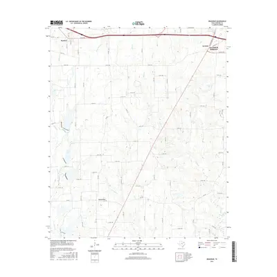
2016 Map of Brashear
USGS Topo · Published 2016About this map
Sulphur Springs anchors the northeastern corner of this Hopkins County landscape, where the growing edge of the city meets a rural network of creeks and country roads. The settlement of Brashear sits along the northern boundary, positioned near the intersection of Interstate 30 and the local road system. This area is defined by a dense drainage pattern, with Elm Cr and Greenview Cr flowing through the central and southern reaches toward the community of Greenview. To the east, Rockdale and Camps Lake provide further points of reference in a terrain shaped by waterways like Chaffin Cr and Wood Cr. The map captures a moment of modern transition as suburban expansion from the county seat begins to interface with long-established agricultural lands and the many small tributaries, such as Reddig Cr and Riley Cr, that feed the regional watershed.
Find a feature on this map
72 named features on this map. Tap any name to fly to it.
Don’t see what you’re looking for? This feature index may not catch every label — zoom into the map to look around manually.
Map Details
Editions of this 2016 Brashear Map
This is the sole edition of this map. No revisions or reprints were ever made.
Other maps of this area

1953 · Texarkana
USGS Topo · 1:250,000

1956 · Texarkana
USGS Topo · 1:250,000

1956 · Tyler
USGS Topo · 1:250,000

1956 · Emory
USGS Topo · 1:62,500

1958 · Arbala
USGS Topo · 1:24,000

1959 · Yantis
USGS Topo · 1:24,000

1959 · Alba
USGS Topo · 1:62,500

1962 · Miller Grove
USGS Topo · 1:24,000

1962 · Brashear
USGS Topo · 1:24,000

1964 · Cumby
USGS Topo · 1:24,000