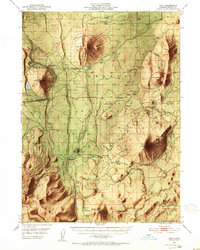
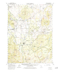
1950 Map of Bray
USGS Topo · Published 1952About this map
Tennant and Bray anchor this mid-century survey of the Siskiyou highlands, a landscape defined by the intersection of industrial timber operations and volcanic terrain. The logging infrastructure of the era is prominently mapped, including the specialized Lumber RR networks and the main line of the Southern Pacific railroad passing through Kegg and Leaf. These transportation corridors served a rugged interior characterized by massive peaks like Garner Mtn and Sharp Mtn, while vital water sources such as Orr Lake, La Honda Well, and Baird Springs highlight the necessity of managed water in the high-country environment.
Find a feature on this map
47 named features on this map. Tap any name to fly to it.
Don’t see what you’re looking for? This feature index may not catch every label — zoom into the map to look around manually.
Map Details
Editions of this 1950 Bray Map
10 editions found

1952 edition
16.62 x 20.84 inches
1952 edition
16.6 x 20.8 inches
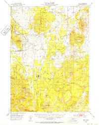
1952 edition
16.6 x 20.8 inches
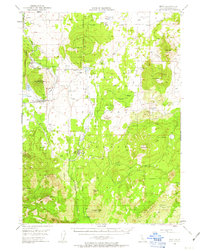
1963 edition
16.6 x 20.8 inches
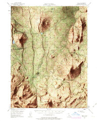
1963 edition
16.6 x 20.8 inches
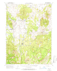
1966 edition
16.6 x 20.8 inches
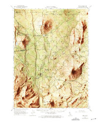
1969 edition
17.3 x 21.9 inches
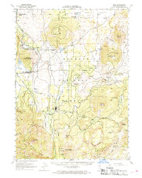
1969 edition
16.7 x 20.8 inches
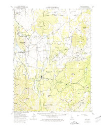
1980 edition
17.3 x 21.8 inches
1984 edition
17.3 x 21.7 inches
Other maps of this area

1886 · Modoc Lava Bed
USGS Topo · 1:250,000

1886 · Shasta
USGS Topo · 1:250,000

1892 · Modoc Lava-Bed
USGS Topo · 1:250,000

1894 · Shasta
USGS Topo · 1:250,000

1932 · Bartle
USGS Topo · 1:96,000

1934 · Macdoel
USGS Topo · 1:96,000

1935 · Dunsmuir
USGS Topo · 1:125,000

1939 · Bartle
USGS Topo · 1:125,000

1941 · Macdoel
USGS Topo · 1:125,000

1948 · Weed
USGS Topo · 1:250,000