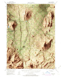
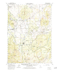
1950 Map of Bray
USGS Topo · Published 1963About this map
The timber and rail economy of Siskiyou County defines this mid-century survey of the Shasta National Forest. The logging settlement of Tennant serves as a central hub, connected by the Lumber RR and numerous spur lines that weave through the mountainous terrain toward Stephens Pass. To the northwest, the Southern Pacific line passes through Bray and Jerome, following the contours near Orr Lake. The landscape is marked by volcanic and alpine features, including Garner Mtn and the distinct Ice Cave south of Bray. Family-named landmarks like Little Horse Peak and Stephens Butte suggest the era's grazing and land-use patterns, while the Antelope Sink and Long Prairie indicate natural basins amidst the high peaks of the Cascade Range.
Find a feature on this map
38 named features on this map. Tap any name to fly to it.
Don’t see what you’re looking for? This feature index may not catch every label — zoom into the map to look around manually.
Map Details
Editions of this 1950 Bray Map
10 editions found

1952 edition
16.62 x 20.84 inches
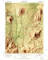
1952 edition
16.6 x 20.8 inches
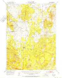
1952 edition
16.6 x 20.8 inches
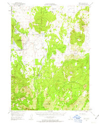
1963 edition
16.6 x 20.8 inches
1963 edition
16.6 x 20.8 inches
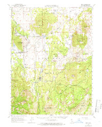
1966 edition
16.6 x 20.8 inches
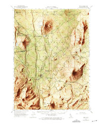
1969 edition
17.3 x 21.9 inches
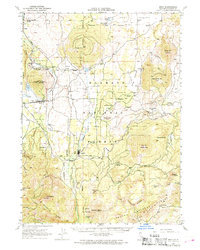
1969 edition
16.7 x 20.8 inches
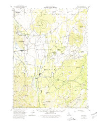
1980 edition
17.3 x 21.8 inches
1984 edition
17.3 x 21.7 inches
Other maps of this area

1886 · Modoc Lava Bed
USGS Topo · 1:250,000

1886 · Shasta
USGS Topo · 1:250,000

1892 · Modoc Lava-Bed
USGS Topo · 1:250,000

1894 · Shasta
USGS Topo · 1:250,000

1932 · Bartle
USGS Topo · 1:96,000

1934 · Macdoel
USGS Topo · 1:96,000

1935 · Dunsmuir
USGS Topo · 1:125,000

1939 · Bartle
USGS Topo · 1:125,000

1941 · Macdoel
USGS Topo · 1:125,000

1948 · Weed
USGS Topo · 1:250,000