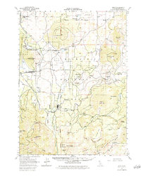
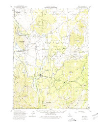
1950 Map of Bray
USGS Topo · Published 1984About this map
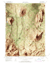
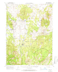
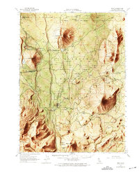
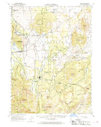
Tennant and Bray serve as central nodes in a landscape defined by timber extraction and rail transit during the mid-century. The Southern Pacific line cuts through the western terrain, passing through Jerome and Leaf, while the Lumber RR branches toward the interior forests to support local industry. The topographical variety is stark, ranging from the volcanic profiles of East Jerome Butte and Cedar Mtn to the unique subterranean landmark of the Ice Cave. Water resources are vital but scattered, marked by features like Antelope Sink, La Honda Well, and the seasonal Cold Spring. This survey records the region's development within the Klamath National Forest and Shasta National Forest, showing the intersection of commercial logging infrastructure and the Mt Diablo Meridian surveying line.
Find a feature on this map
53 named features on this map. Tap any name to fly to it.
Don’t see what you’re looking for? This feature index may not catch every label — zoom into the map to look around manually.
Map Details
Editions of this 1950 Bray Map
10 editions found

1952 edition
16.62 x 20.84 inches
1952 edition
16.6 x 20.8 inches
1952 edition
16.6 x 20.8 inches
1963 edition
16.6 x 20.8 inches
1963 edition
16.6 x 20.8 inches
1966 edition
16.6 x 20.8 inches
1969 edition
17.3 x 21.9 inches
1969 edition
16.7 x 20.8 inches
1980 edition
17.3 x 21.8 inches
1984 edition
17.3 x 21.7 inches
Other maps of this area

1886 · Modoc Lava Bed
USGS Topo · 1:250,000

1886 · Shasta
USGS Topo · 1:250,000

1892 · Modoc Lava-Bed
USGS Topo · 1:250,000

1894 · Shasta
USGS Topo · 1:250,000

1932 · Bartle
USGS Topo · 1:96,000

1934 · Macdoel
USGS Topo · 1:96,000

1935 · Dunsmuir
USGS Topo · 1:125,000

1939 · Bartle
USGS Topo · 1:125,000

1941 · Macdoel
USGS Topo · 1:125,000

1948 · Weed
USGS Topo · 1:250,000