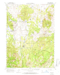
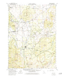
1950 Map of Bray
USGS Topo · Published 1966About this map
Tennant serves as a focal point in this 1950s-era landscape, where the timber industry and rail transport define the local economy. The network of the Lumber RR and the Southern Pacific tracks weave through the forest, connecting small settlements like Bray, Leaf, and Jerome. This survey documents a critical period of industrial infrastructure in Siskiyou County, showing the proximity of logging operations to water sources like Antelope Creek and the Antelope Sink.
Find a feature on this map
53 named features on this map. Tap any name to fly to it.
Don’t see what you’re looking for? This feature index may not catch every label — zoom into the map to look around manually.
Map Details
Editions of this 1950 Bray Map
10 editions found

1952 edition
16.62 x 20.84 inches
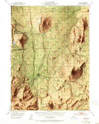
1952 edition
16.6 x 20.8 inches
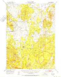
1952 edition
16.6 x 20.8 inches
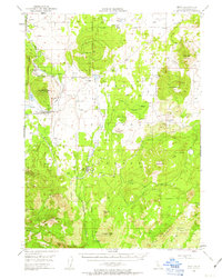
1963 edition
16.6 x 20.8 inches
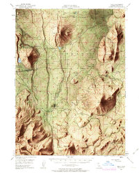
1963 edition
16.6 x 20.8 inches
1966 edition
16.6 x 20.8 inches
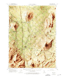
1969 edition
17.3 x 21.9 inches
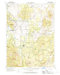
1969 edition
16.7 x 20.8 inches
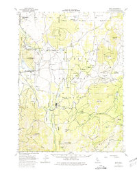
1980 edition
17.3 x 21.8 inches
1984 edition
17.3 x 21.7 inches
Other maps of this area

1886 · Modoc Lava Bed
USGS Topo · 1:250,000

1886 · Shasta
USGS Topo · 1:250,000

1892 · Modoc Lava-Bed
USGS Topo · 1:250,000

1894 · Shasta
USGS Topo · 1:250,000

1932 · Bartle
USGS Topo · 1:96,000

1934 · Macdoel
USGS Topo · 1:96,000

1935 · Dunsmuir
USGS Topo · 1:125,000

1939 · Bartle
USGS Topo · 1:125,000

1941 · Macdoel
USGS Topo · 1:125,000

1948 · Weed
USGS Topo · 1:250,000