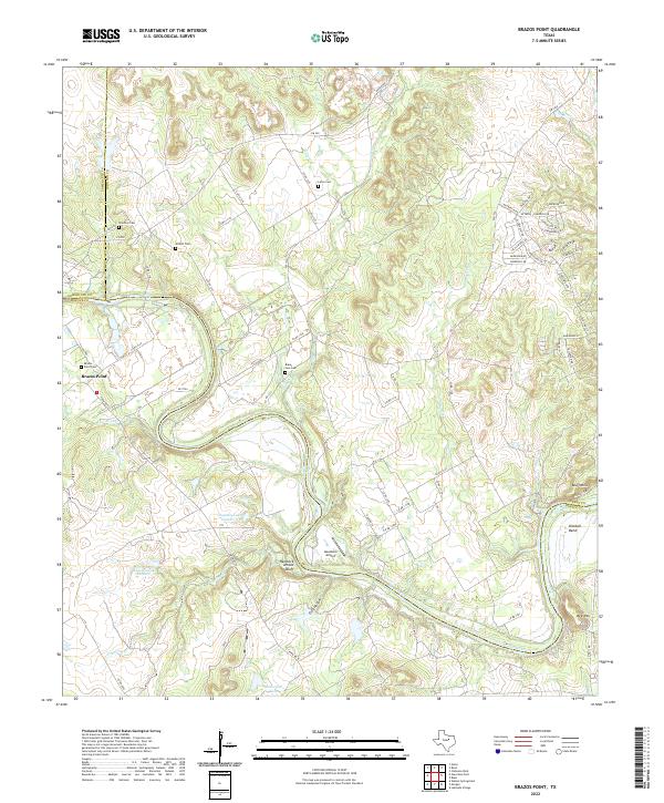
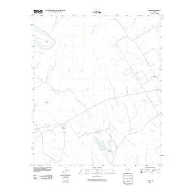
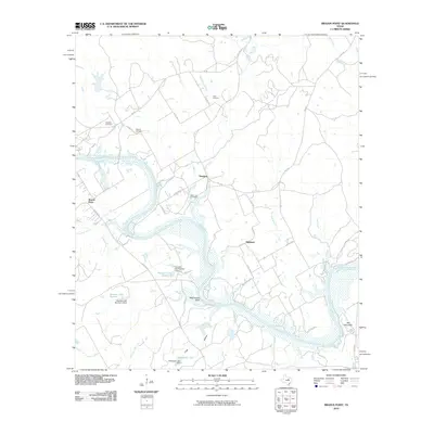
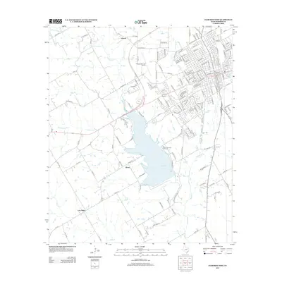
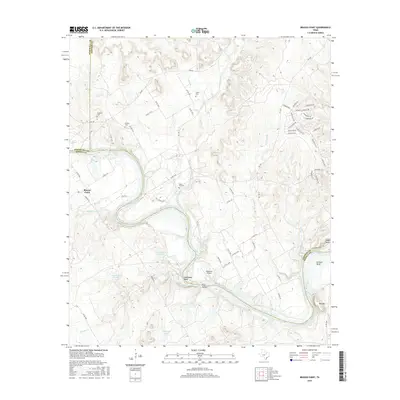
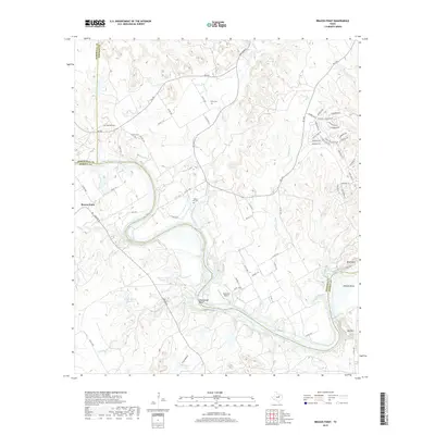
2022 Map of Brazos Point
USGS Topo · Published 2022About this map
The Brazos River meanders across this landscape where the boundaries of Johnson, Somervell, and Bosque counties converge. This riverine geography is defined by prominent elevations such as Bee Mtn and the striking Hendrick Arnold Bluff, which overlooks the river's winding path near Frog Hollow. The settlement of Brazos Point serves as a primary reference point, anchored by the Brazos Point Cem and nearby rural airstrips like Goatneck Airport.
Find a feature on this map
74 named features on this map. Tap any name to fly to it.
Don’t see what you’re looking for? This feature index may not catch every label — zoom into the map to look around manually.
Map Details
Editions of this 2022 Brazos Point Map
This is the sole edition of this map. No revisions or reprints were ever made.
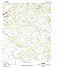
Historical Maps of Freeland Through Time
26 maps found
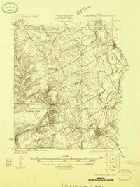
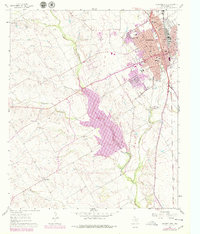
1924 Cleburne 3-B
Johnson County, TX
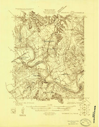
1924 Granbury 4-a
Johnson County, TX
1960 Cleburne East
Johnson County, TX
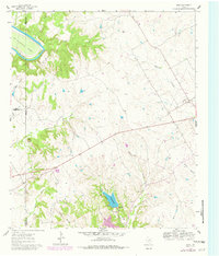
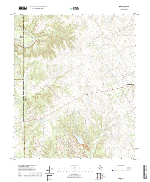
1961 Bono
Johnson County, TX
1961 Cleburne West
Johnson County, TX
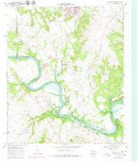
1968 Brazos Point
Johnson County, TX
2010 Bono
Johnson County, TX
2010 Brazos Point
Johnson County, TX
2010 Cleburne East
Johnson County, TX
2010 Cleburne West
Johnson County, TX
2012 Cleburne East
Johnson County, TX
2012 Cleburne West
Johnson County, TX
2013 Bono
Johnson County, TX
2013 Brazos Point
Johnson County, TX
2016 Bono
Johnson County, TX
2016 Brazos Point
Johnson County, TX
2016 Cleburne East
Johnson County, TX
2016 Cleburne West
Johnson County, TX
2019 Bono
Johnson County, TX
2019 Brazos Point
Johnson County, TX
2019 Cleburne East
Johnson County, TX
2019 Cleburne West
Johnson County, TX
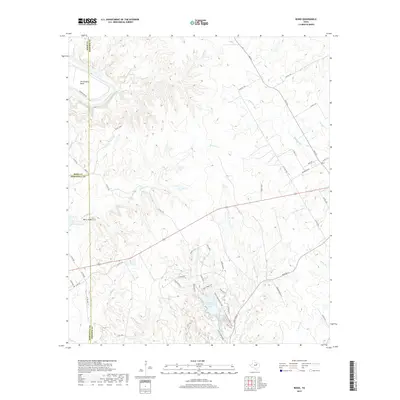
2022 Bono
Johnson County, TX
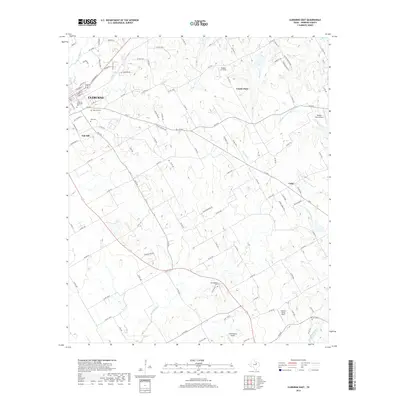
2022 Brazos Point
Johnson County, TX
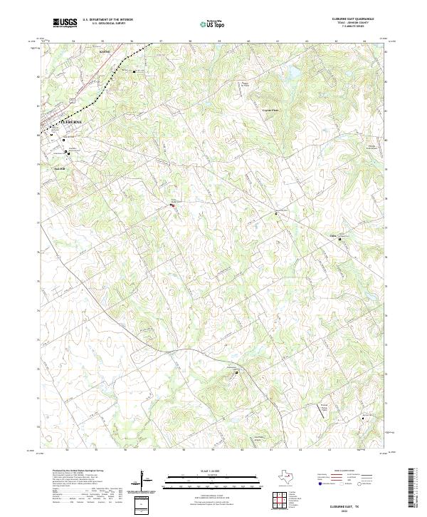
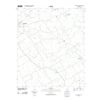
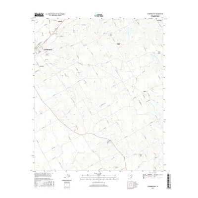
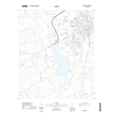
2022 Cleburne East
Johnson County, TX
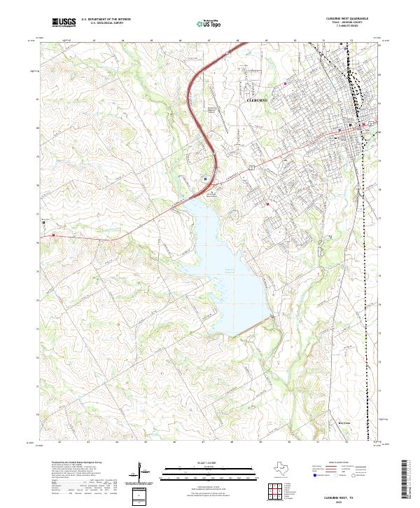
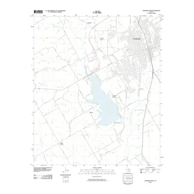
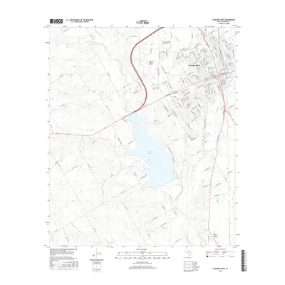
2022 Cleburne West
Johnson County, TX