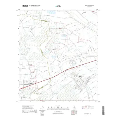
2018 Map of Breaux Bridge
USGS Topo · Published 2018About this map
Bayou Teche winds through the heart of this landscape, anchoring the historic settlement of Breaux Bridge and providing a natural corridor for the region's development. The map details the transition from the urbanized edges of Lafayette and Carencro to the sprawling wetlands and coulees of the Acadiana region. Evidence of the area's social and industrial history is visible in the placement of the Saint Bernard Cem and the Strauss Cem, alongside infrastructure like Tontons Bridge and the Dupuis Airport.
Find a feature on this map
161 named features on this map. Tap any name to fly to it.
Don’t see what you’re looking for? This feature index may not catch every label — zoom into the map to look around manually.
Map Details
Editions of this 2018 Breaux Bridge Map
This is the sole edition of this map. No revisions or reprints were ever made.
Other maps of this area

1939 · St. Martinsville
USGS Topo · 1:62,500

1940 · Arnaudville
USGS Topo · 1:62,500

1946 · Lafayette
USGS Topo · 1:31,680

1952 · Lake Charles
USGS Topo · 1:250,000

1954 · Lafayette
USGS Topo · 1:31,680

1954 · Lake Charles
USGS Topo · 1:250,000

1954 · Baton Rouge
USGS Topo · 1:250,000

1955 · Lafayette
USGS Topo · 1:24,000
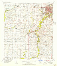
1955 · Lafayette
USGS Topo · 1:62,500

1956 · Baton Rouge
USGS Topo · 1:250,000