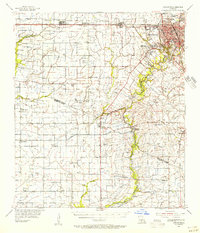
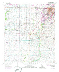
1955 Map of Lafayette
USGS Topo · Published 1956About this map
Lafayette sits at the heart of this mid-1950s survey, a period when the city's modern infrastructure began expanding alongside long-established Acadiana settlements like Youngsville, Scott, and Duson. The landscape is a network of water management and transit, defined by the winding course of the Vermilion River and the steady tracks of the Southern Pacific railroad. Smaller communities such as Maurice, Milton, and Ridge are well-documented, anchored by local institutions like Judice High Sch and Morning Star Ch.
Find a feature on this map
72 named features on this map. Tap any name to fly to it.
Don’t see what you’re looking for? This feature index may not catch every label — zoom into the map to look around manually.
Map Details
Editions of this 1955 Lafayette Map
5 editions found
Other maps of this area

1932 · Abbeville NE
USGS Topo · 1:31,680

1932 · Abbeville NW
USGS Topo · 1:31,680

1934 · Duson
USGS Topo · 1:31,680

1935 · Branch
USGS Topo · 1:31,680

1937 · Derouen
USGS Topo · 1:62,500

1939 · St. Martinsville
USGS Topo · 1:62,500

1940 · Arnaudville
USGS Topo · 1:62,500

1945 · New Orleans
USGS Topo · 1:250,000

1946 · Milton
USGS Topo · 1:31,680

1946 · Leroy
USGS Topo · 1:31,680