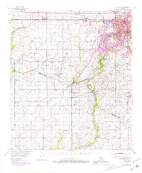
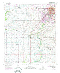
1955 Map of Lafayette
USGS Topo · Published 1981About this map
The Vermilion River and a network of intricate coulees like Anselm Coulee and Darby Coulee define the drainage of this south Louisiana landscape during the mid-1950s. The expanding urban footprint of Lafayette is visible in the northeast, showing early suburban developments and institutions such as Myrtle Place Sch and Central Sch. Further west, the Southern Pacific railroad corridor anchors the settlements of Duson, Sadou, and Scott.
Find a feature on this map
65 named features on this map. Tap any name to fly to it.
Don’t see what you’re looking for? This feature index may not catch every label — zoom into the map to look around manually.
Map Details
Editions of this 1955 Lafayette Map
5 editions found
Other maps of this area

1932 · Abbeville NE
USGS Topo · 1:31,680

1932 · Abbeville NW
USGS Topo · 1:31,680

1934 · Duson
USGS Topo · 1:31,680

1935 · Branch
USGS Topo · 1:31,680

1937 · Derouen
USGS Topo · 1:62,500

1939 · St. Martinsville
USGS Topo · 1:62,500

1940 · Arnaudville
USGS Topo · 1:62,500

1945 · New Orleans
USGS Topo · 1:250,000

1946 · Milton
USGS Topo · 1:31,680

1946 · Leroy
USGS Topo · 1:31,680