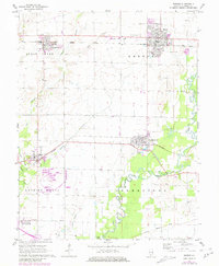
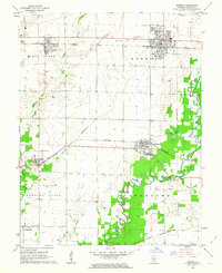
1962 Map of Breese
USGS Topo · Published 1981About this map
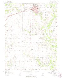
Breese and Germantown anchor this survey of Clinton County, which illustrates the agricultural and infrastructure patterns of southwestern Illinois in the early 1960s. The map captures a detailed transportation network where the Baltimore and Ohio railroad serves the northern corridor through Aviston, while the Southern line links Albers and Germantown to the south.
Find a feature on this map
32 named features on this map. Tap any name to fly to it.
Don’t see what you’re looking for? This feature index may not catch every label — zoom into the map to look around manually.
Map Details
Editions of this 1962 Breese Map
2 editions found
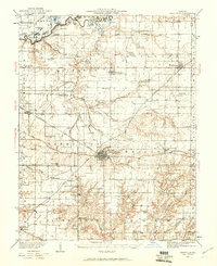
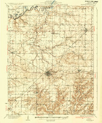
Other maps of this area

1906 · Breese
USGS Topo · 1:62,500

1907 · Breese
USGS Topo · 1:62,500

1910 · Carlyle
USGS Topo · 1:62,500

1910 · Okawville
USGS Topo · 1:62,500

1931 · Hoyleton
USGS Topo · 1:48,000
1932 · Nashville
USGS Topo · 1:62,500
1936 · Nashville
USGS Topo · 1:62,500

1940 · Okawville
USGS Topo · 1:62,500

1948 · Carlyle
USGS Topo · 1:62,500
1957 · Highland
USGS Topo · 1:24,000