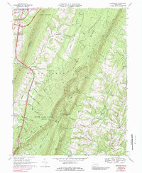
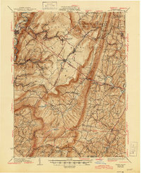
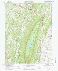
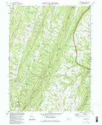
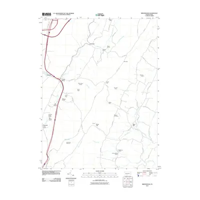
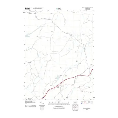
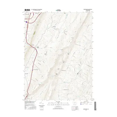
1967 Map of Breezewood
USGS Topo · Published 1989About this map
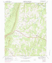
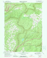
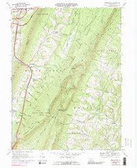
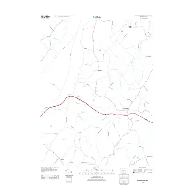
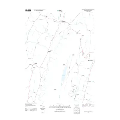
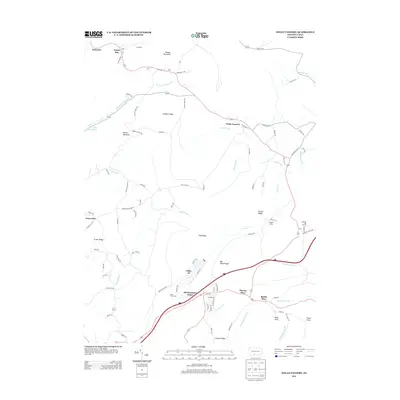
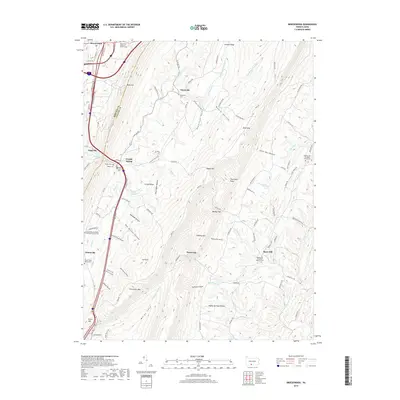
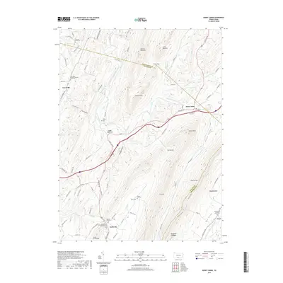
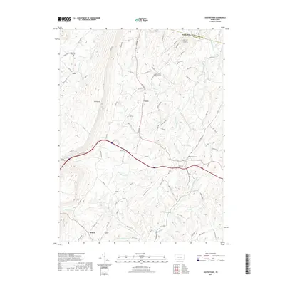
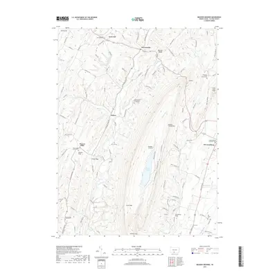
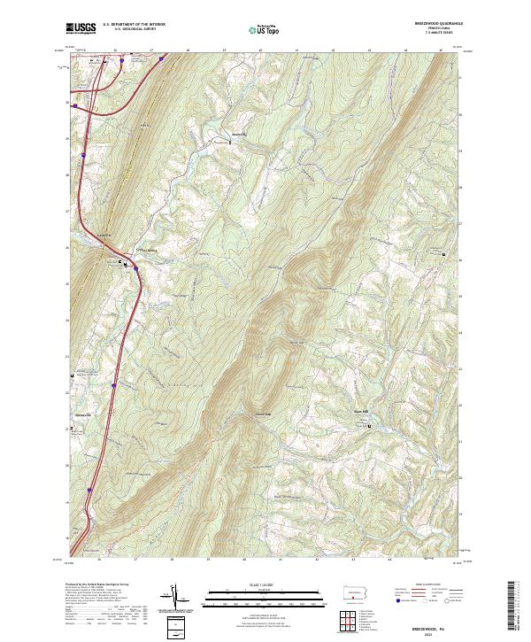
The town of Breezewood serves as a major transit hub where the Pennsylvania Turnpike meets U.S. 30, showing its mid-century role as a gateway for travelers. Moving east from the bustling highway interchanges, the landscape shifts dramatically toward the ridges of Buchanan State Forest and the State Game Lands No 65. Small, rural communities such as Akersville, Gapsville, and Crystal Spring are scattered throughout the valleys of Brush Creek and Roaring Run, reflecting the agricultural and residential patterns of the late 1960s. The southeastern corner features the community of Sipes Mill and the Sideling Hill Church, where Sideling Hill Creek and Tonoloway Run carve through the terrain. This survey provides a clear view of the contrast between high-speed turnpike infrastructure and the quiet hollows and gaps of the Bedford and Fulton County border.
Find a feature on this map
46 named features on this map. Tap any name to fly to it.
Don’t see what you’re looking for? This feature index may not catch every label — zoom into the map to look around manually.
Map Details
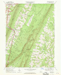
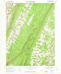
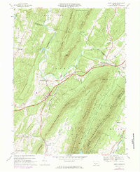
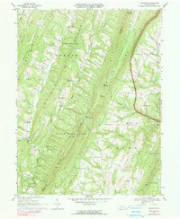
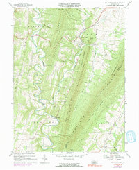
Editions of this 1967 Breezewood Map
3 editions found
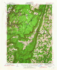
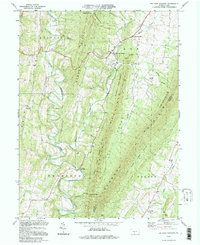
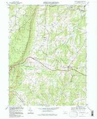
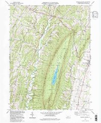
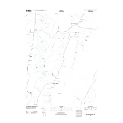
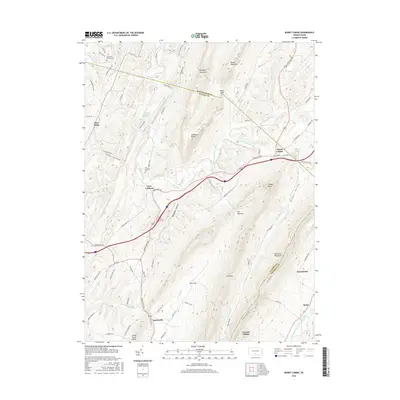
Historical Maps of Gapsville Through Time
45 maps found
1930 Broad Top
Fulton County, PA
1933 Broad Top
Fulton County, PA
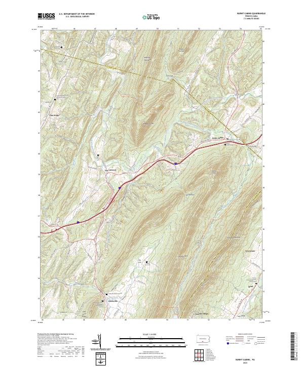
1966 Burnt Cabins
Fulton County, PA
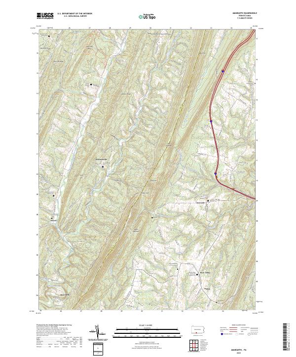
1967 Amaranth
Fulton County, PA
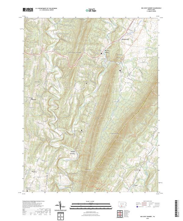
1967 Big Cove Tannery
Fulton County, PA
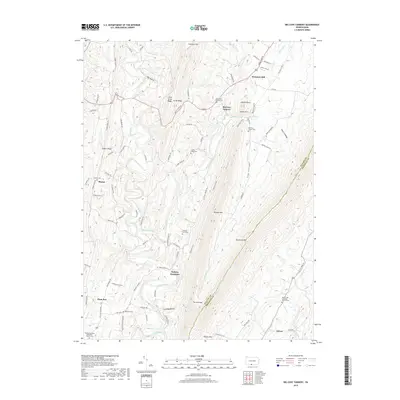
1967 Breezewood
Fulton County, PA
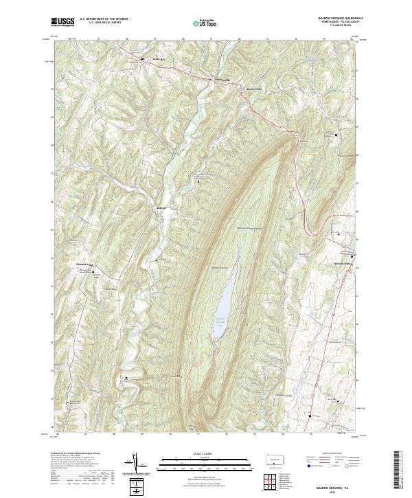
1967 Meadow Grounds
Fulton County, PA
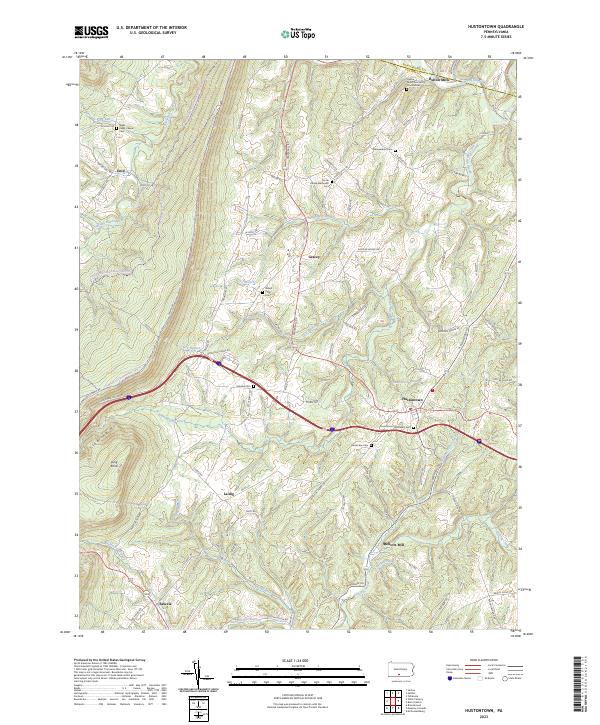
1968 Hustontown
Fulton County, PA
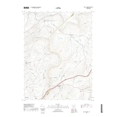
1968 Wells Tannery
Fulton County, PA
1969 Breezewood
Fulton County, PA
1994 Amaranth
Fulton County, PA
1994 Big Cove Tannery
Fulton County, PA
1994 Hustontown
Fulton County, PA
1994 Meadow Grounds
Fulton County, PA
2010 Big Cove Tannery
Fulton County, PA
2010 Breezewood
Fulton County, PA
2010 Burnt Cabins
Fulton County, PA
2010 Hustontown
Fulton County, PA

2010 Meadow Grounds
Fulton County, PA
2010 Wells Tannery
Fulton County, PA
2013 Big Cove Tannery
Fulton County, PA
2013 Breezewood
Fulton County, PA
2013 Burnt Cabins
Fulton County, PA
2013 Hustontown
Fulton County, PA
2013 Meadow Grounds
Fulton County, PA
2013 Wells Tannery
Fulton County, PA
2016 Big Cove Tannery
Fulton County, PA
2016 Breezewood
Fulton County, PA
2016 Burnt Cabins
Fulton County, PA
2016 Hustontown
Fulton County, PA

2016 Meadow Grounds
Fulton County, PA
2016 Wells Tannery
Fulton County, PA
2019 Big Cove Tannery
Fulton County, PA
2019 Breezewood
Fulton County, PA
2019 Burnt Cabins
Fulton County, PA
2019 Hustontown
Fulton County, PA
2019 Meadow Grounds
Fulton County, PA
2019 Wells Tannery
Fulton County, PA
2023 Amaranth
Fulton County, PA
2023 Big Cove Tannery
Fulton County, PA
2023 Breezewood
Fulton County, PA
2023 Burnt Cabins
Fulton County, PA
2023 Hustontown
Fulton County, PA
2023 Meadow Grounds
Fulton County, PA
2023 Wells Tannery
Fulton County, PA
Featured Locations
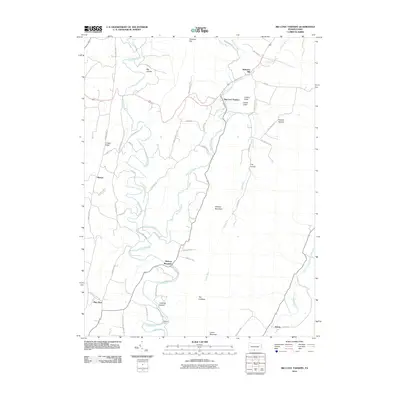
- East Providence Township, PA
- Licking Creek Township, PA
- Gapsville, East Providence Township
- Akersville, Brush Creek Township
- Sipes Mill, Belfast Township