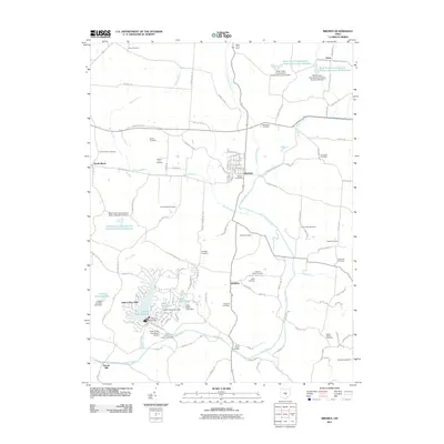
2011 Map of Bremen
USGS Topo · Published 2011About this map
Bremen serves as the central hub of this landscape, situated at the confluence of Rush Creek and Little Rush Creek. The village is anchored by the Bremen Post Office, surrounded by a dense network of country roads including Marietta Rd SE and Bremen Rd SE. To the south, the planned community of Hide-A-Way Hills surrounds several man-made water bodies, such as Lake of Four Seasons and Lake Tomahawk, supported by infrastructure like the Hide-A-Way Hills Resort Airport.
Find a feature on this map
130 named features on this map. Tap any name to fly to it.
Don’t see what you’re looking for? This feature index may not catch every label — zoom into the map to look around manually.
Map Details
Editions of this 2011 Bremen Map
This is the sole edition of this map. No revisions or reprints were ever made.
Other maps of this area

1907 · Logan
USGS Topo · 1:62,500

1907 · Lancaster
USGS Topo · 1:62,500

1907 · Thurston
USGS Topo · 1:62,500

1909 · Thornville
USGS Topo · 1:62,500

1909 · Lancaster
USGS Topo · 1:62,500

1909 · Logan
USGS Topo · 1:62,500

1909 · Thurston
USGS Topo · 1:62,500

1947 · Columbus
USGS Topo · 1:250,000

1961 · Columbus
USGS Topo · 1:250,000

1961 · Rushville
USGS Topo · 1:24,000