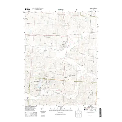
2013 Map of Bremen
USGS Topo · Published 2013About this map
Bremen serves as a central hub in this Fairfield County landscape, where the confluence of Rush Creek and Little Rush Cr shaped the local settlement patterns. The map documents a dense network of rural religious sites and burial grounds, such as Saint Emanuel Lutheran Cem and Olive Branch Cem, reflecting the deep-rooted community history of Rush Creek Township. To the south, the planned community of Hide-A-Way Hills is prominently featured, characterized by its complex of artificial reservoirs including Lake of Four Seasons and Lake Eagle Claw. This modern residential development contrasts sharply with the traditional agrarian and industrial markers of the area, like the site of Swartz Mill and the scattered hamlets of Geneva and North Berne. The inclusion of Willard Field Airport and the borders of the Wayne N F further define the varied land use between Fairfield, Hocking, and Perry Counties.
Find a feature on this map
157 named features on this map. Tap any name to fly to it.
Don’t see what you’re looking for? This feature index may not catch every label — zoom into the map to look around manually.
Map Details
Editions of this 2013 Bremen Map
This is the sole edition of this map. No revisions or reprints were ever made.
Other maps of this area

1907 · Logan
USGS Topo · 1:62,500

1907 · Lancaster
USGS Topo · 1:62,500

1907 · Thurston
USGS Topo · 1:62,500

1909 · Thornville
USGS Topo · 1:62,500

1909 · Lancaster
USGS Topo · 1:62,500

1909 · Logan
USGS Topo · 1:62,500

1909 · Thurston
USGS Topo · 1:62,500

1947 · Columbus
USGS Topo · 1:250,000

1961 · Columbus
USGS Topo · 1:250,000

1961 · Rushville
USGS Topo · 1:24,000