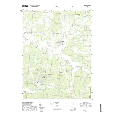
2019 Map of Bremen
USGS Topo · Published 2019About this map
Bremen serves as the central hub for this portion of Fairfield County, where the valley of Rush Creek meets the undulating landscape of south-central Ohio. The map reveals a high density of small rural cemeteries and churches that speak to the area's deep-rooted community history, including the Avlon United Brethren Church Cem and Collins Chapel Cem. To the south, the development of Hide-A-Way Hills introduces a complex network of private roads and recreational water bodies such as the Lake of Four Seasons and Lake Tomahawk.
Find a feature on this map
125 named features on this map. Tap any name to fly to it.
Don’t see what you’re looking for? This feature index may not catch every label — zoom into the map to look around manually.
Map Details
Editions of this 2019 Bremen Map
This is the sole edition of this map. No revisions or reprints were ever made.
Other maps of this area

1907 · Logan
USGS Topo · 1:62,500

1907 · Lancaster
USGS Topo · 1:62,500

1907 · Thurston
USGS Topo · 1:62,500

1909 · Thornville
USGS Topo · 1:62,500

1909 · Lancaster
USGS Topo · 1:62,500

1909 · Logan
USGS Topo · 1:62,500

1909 · Thurston
USGS Topo · 1:62,500

1947 · Columbus
USGS Topo · 1:250,000

1961 · Columbus
USGS Topo · 1:250,000

1961 · Rushville
USGS Topo · 1:24,000